Redondo Peak, Mountain summit in Jemez Mountains, New Mexico, US
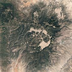
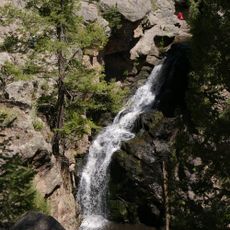
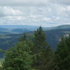
Redondo Peak is a mountain summit in the Jemez Mountains of northern New Mexico, rising from within the Valles Caldera National Preserve. The peak formed as a resurgent dome following ancient volcanic activity and displays a distinctive cone shape rising above the surrounding plateau.
The mountain formed as a resurgent dome following a major volcanic eruption roughly 1.25 million years ago that created a vast caldera. This was one of the region's most significant volcanic events, leaving behind the distinctive geological landscape visible today.
The mountain carries a Tewa name, Tsiku'mup'in, which means obsidian-covered mountain and reflects the volcanic rock scattered across the surrounding area. This naming shows how deeply the local landscape's geology shaped the way Indigenous people understood and spoke about this place.
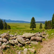
Access to the mountain requires advance permits from the Valles Caldera National Preserve, with hiking restrictions in certain areas. Visitors should check current conditions and regulations with the preserve's office, as rules may change depending on seasonal or maintenance needs.
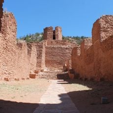
The summit contains an excavated shrine constructed in the early 1900s that was documented by anthropologists studying the area. This site offers insight into the spiritual importance that Indigenous communities placed on this elevation and their religious practices.
The community of curious travelers
AroundUs brings together thousands of curated places, local tips, and hidden gems, enriched daily by 60,000 contributors worldwide.