Abiquiu Dam, Embankment dam on the Rio Chama in Rio Arriba County, New Mexico, United States
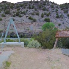
Abiquiu Dam is a 354-foot-high, 1,800-foot-long earth embankment dam on the Rio Chama, holding 11.8 million cubic yards of fill. It impounds Abiquiu Lake, which covers 5,200 acres at full pool. The dam is one of four US Army Corps of Engineers flood and sediment control projects on the Rio Grande system.
The first flood-control proposal for the Rio Chama came in the Flood Control Act of 1948, originally siting a low dam at Chamita about 20 miles downstream. A dam at Abiquiu was added in the 1950s, and the 1960 act dropped Chamita in favor of one high dam here. Construction began in 1956, the river was diverted in July 1959, and the dam was completed on February 5, 1963, at a cost of $21.2 million.
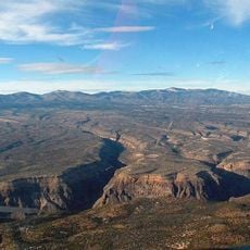
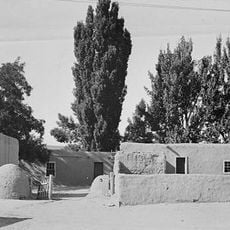
The dam's name comes from the nearby village of Abiquiu, a settlement founded around 1754 on the Rio Chama. The reservoir is a recreation spot for fishing and boating, and the earthfill embankment can be viewed from the surrounding roads. The hydroelectric plant at the base is run by Los Alamos County.
The area around the dam and reservoir is generally accessible, with several viewing areas and recreational spots available. Plan your visit considering local conditions and any seasonal water level changes that affect access.
The reservoir has never filled to its full capacity of 1,369,000 acre-feet. Its record high was 402,258 acre-feet, only 29.4% of full pool, reached on June 22, 1987. The dam was raised 13 feet in 1986, and the emergency spillway was widened from 40 to 80 feet.
The community of curious travelers
AroundUs brings together thousands of curated places, local tips, and hidden gems, enriched daily by 94,553 contributors worldwide.