Chicoma Mountain, Mountain summit in New Mexico, US
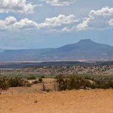
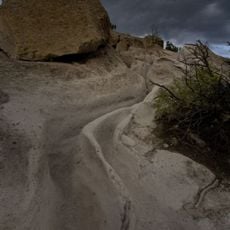
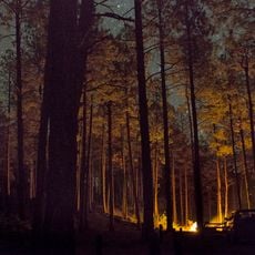
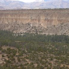
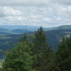
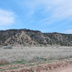
Chicoma Mountain is the highest point of the Jemez Mountains, reaching 3,525 metres on the northeast rim of the Valles Caldera in Rio Arriba County, New Mexico. It lies in Santa Fe National Forest, about 15 kilometres north-northwest of Los Alamos. Forest covers it almost to the summit, which stands out from Los Alamos, Santa Fe and Española.
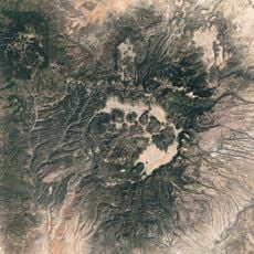
Chicoma Mountain is of volcanic origin and lies on the northeast rim of the Valles Caldera, one of the best examples of a caldera in the United States. The caldera formed when a magma chamber emptied and the ground collapsed, and the mountain stands on that rim rather than being the collapsed chamber itself. Much of the mountain lies within the territory of the Santa Clara Pueblo.
The Tewa name Tsikumu Pʼin means "obsidian-covered mountain," from tsee (obsidian), kumu (cover) and pʼin (mountain). Puebloan peoples regard the peak as the "center of all," and much of it lies within Santa Clara Pueblo land, so access is limited.
Much of the mountain lies within Santa Clara Pueblo land, where access by hikers and hunters is limited; the summit can be reached via public lands on the north side. The Puye Cliff Dwellings, sometimes open to the public for a fee, are reached via NM 30 to NM 5, about 30 minutes south of Chicoma. The peak stands 15 km north-northwest of Los Alamos and just over 50 km northwest of Santa Fe, in Santa Fe National Forest.
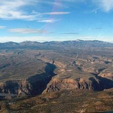
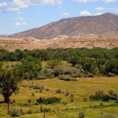
The tree line extends surprisingly high near the summit, opening views across to Los Alamos, Santa Fe, and Española. This panoramic sight across the Rio Grande valley is rare from other peaks in the region.
The community of curious travelers
AroundUs brings together thousands of curated places, local tips, and hidden gems, enriched daily by 93,846 contributors worldwide.