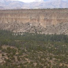
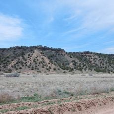
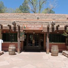
Tsankawi, Archaeological site in Bandelier National Monument, New Mexico, United States.
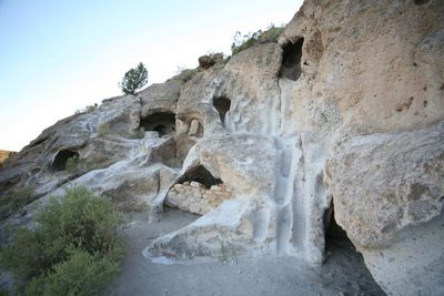
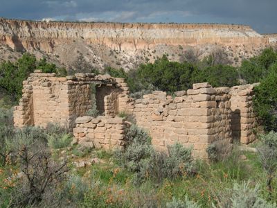
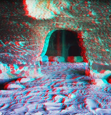
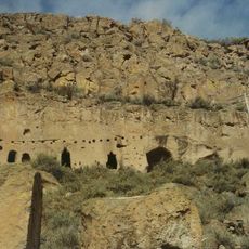
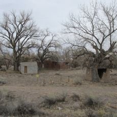
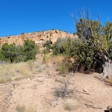
Tsankawi is a prehistoric settlement on a mesa top within Bandelier National Monument in New Mexico, made up of around 350 rooms arranged around a central plaza. Some rooms are carved directly into the soft volcanic cliffs, while stone wall remains and petroglyphs are visible along the trail.
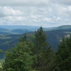
The Ancestral Puebloan people built and occupied this settlement during the 15th and 16th centuries, a period of active community life across the wider Rio Grande region. By the late 16th century the site was abandoned, and the descendants of its inhabitants are among the ancestors of today's Tewa-speaking Pueblo communities.
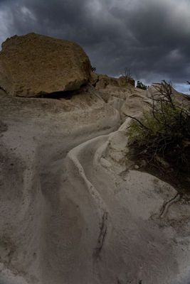
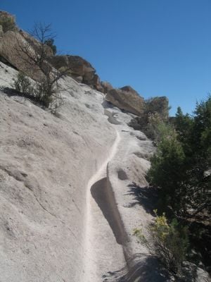
The petroglyphs carved into the soft volcanic rock show animals, human figures, and geometric shapes left behind by the people who once lived here. The worn grooves cut into the rock surface by generations of foot traffic make the connection to past daily life feel very direct.
The site is explored on a self-guided loop of about 1.5 miles (2.4 km) that includes wooden ladders and narrow passages cut through the rock. Sturdy footwear is a must, and visitors should be comfortable with a bit of climbing, as some sections involve pulling yourself up short vertical stretches.
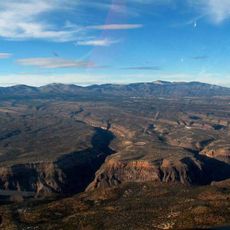
The name Tsankawi comes from the Tewa language and translates roughly as 'village between two canyons at the clump of sharp round cacti'. This kind of place name acts almost like a map, encoding a precise visual of the landscape into a single spoken word.
The community of curious travelers
AroundUs brings together thousands of curated places, local tips, and hidden gems, enriched daily by 60,000 contributors worldwide.