Chest opened
+${chestReward.xp} XP
Explorer
NOUVEAU ×${chestReward.collectible.quantity}
tapez pour fermer

See the monuments around you in AR Open chests in the app

Around Us is built for your phone — point your camera at the streets and discover the monuments and places around you in augmented reality. Around Us is built for your phone — chests unlock when you walk, explore and capture nearby places.

Enable Location

We need your location to show you interesting places around you

Discover nearby places

Find interesting locations and hidden gems around you

Precise directions

Get accurate directions and distances to places

Your location is never shared with other users. It's only used when you tap the location button.

Cerro Grande

Log in to your account

Start exploring — it's free

Trusted by 80,656 travelers worldwide

Continue with Google
Continue with Apple
or

We will send you a code to connect

By continuing, you accept our Terms and Conditions and our Privacy Policy

Check your inbox

We've sent a pincode in your inbox. Please enter the code below.

Cerro Grande
Discussion Reviews 1 Photos
1.4k Popularity

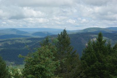
Cerro Grande, Mountain summit in Bandelier National Monument, New Mexico, US

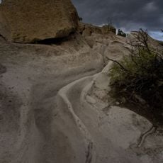
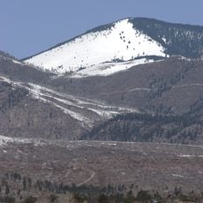
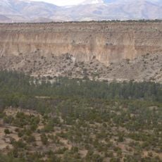
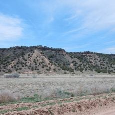
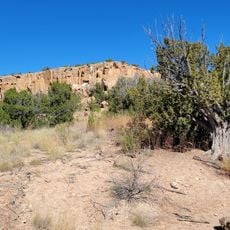
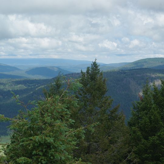
Cerro Grande is a mountain summit within Bandelier National Monument surrounded by dense mixed conifer forests. The hiking trail climbs steadily through wooded terrain and rocky sections to reach the peak.

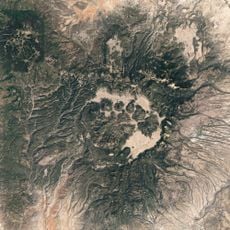
The mountain is part of the Los Alamos Volcanic Field, formed over a million years ago through volcanic activity. This geological process shaped the entire Jemez Mountains range in the area.

The surrounding area contains archaeological evidence of ancient human settlements, with numerous Native American artifacts discovered throughout the Bandelier National Monument region.

Visitors should bring plenty of water since no water sources are available along the trail. The hike requires good physical fitness and appropriate gear due to the elevation gain and steep sections.

From the summit, visitors can see far across multiple mountain ranges including the Sangre de Cristo and San Mateo Mountains. The panoramic views also reveal the Rio Grande Valley stretching between these distant ridges.

The community of curious travelers

AroundUs brings together thousands of curated places, local tips, and hidden gems, enriched daily by 60,000 contributors worldwide.
Start exploring
Location
GPS coordinates
35.86945,-106.41288
Latest update
December 14, 2025 16:47
Around this place
Los Alamos National Laboratory
United States of America

Los Alamos National Laboratory

5.8 km
Valles Caldera
United States of America

Valles Caldera

13.9 km
Puye Cliff Dwellings
United States of America

Puye Cliff Dwellings

20.4 km
Cerro Pedernal
United States of America

Cerro Pedernal

33.7 km
Pajarito Plateau
United States of America

Pajarito Plateau

10.4 km
Tsankawi
United States of America

Tsankawi

17.9 km
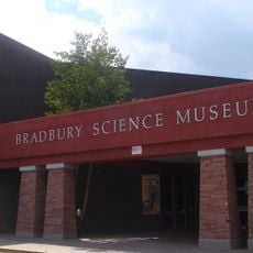
Bradbury Science Museum
United States of America

Bradbury Science Museum

10.4 km
Chicoma Mountain
United States of America

Chicoma Mountain

15.6 km
Fenton Lake State Park
United States of America

Fenton Lake State Park

28.3 km
United States of America

Redondo Peak

13.3 km
Poeh Museum
United States of America

Poeh Museum

36.2 km
Bandelier Tuff
United States of America

Bandelier Tuff

14.3 km
Jemez Historic Site
United States of America

Jemez Historic Site

26.7 km
Jemez Falls
United States of America

Jemez Falls

18.1 km
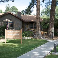
Los Alamos Historical Museum
United States of America

Los Alamos Historical Museum

10.1 km
Otowi Historic District
United States of America

Otowi Historic District

24.4 km
Mesa Public Library
United States of America

Mesa Public Library

9.9 km
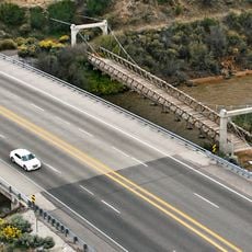
Otowi Suspension Bridge
United States of America

Otowi Suspension Bridge

24.5 km
Ancha Formation
United States of America

Ancha Formation

23.6 km
Bandelier CCC Historic District
United States of America

Bandelier CCC Historic District

16.3 km
Poeh Center
United States of America

Poeh Center

36.2 km
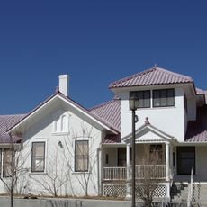
Frank Bond House
United States of America

Frank Bond House

32.7 km
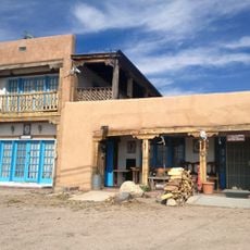
Chimayo Trading Post and E.D. Trujillo House
United States of America

Chimayo Trading Post and E.D. Trujillo House

33.9 km
Tsankawi Prehistoric Sites
United States of America

Tsankawi Prehistoric Sites

17 km
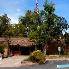
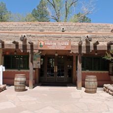
Frijoles Canyon Visitor Center
United States of America

Frijoles Canyon Visitor Center

16.3 km
Bodhi Manda Zen Center
United States of America

Bodhi Manda Zen Center

27.1 km
Los Alamos VLBA station
United States of America

Los Alamos VLBA station

18.4 km
Omega Bridge
United States of America

Omega Bridge

8.3 km
Show the full map
Reviews
Share your experience

No review yet

Discussions
Start a discussion...

No discussion yet

« Cerro Grande - Mountain summit in Bandelier National Monument, New Mexico, US » is provided by Around Us (aroundus.com). Images and texts are derived from Wikimedia project under a Creative Commons license. You are allowed to copy, distribute, and modify copies of this page, under the conditions set by the license, as long as this note is clearly visible.

Discover hidden gems everywhere you go!

From secret cafés to breathtaking viewpoints, skip the crowded tourist spots and find places that match your style. Our app makes it easy with voice search, smart filtering, route optimization, and insider tips from travelers worldwide. Download now for the complete mobile experience.
Around Us App Screenshot

A unique approach to discovering new places

Le Figaro

All the places worth exploring

France Info

A tailor-made excursion in just a few clicks

20 Minutes

Around Us
Travel Guide & Maps
Download

Send to your phone

QR Code
1

Open the camera app on your mobile.

2

Point at the QR code with your camera. A notification will appear.

3

Tap the notification to open the link.