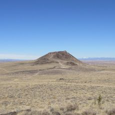
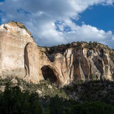
Mount Taylor, Stratovolcano in Cibola County, United States.
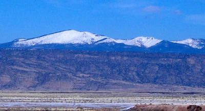
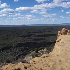
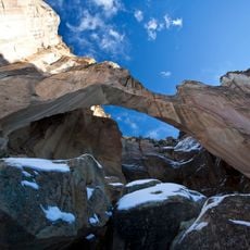
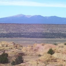
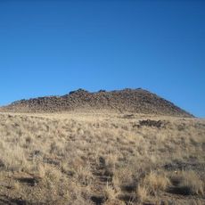
Mount Taylor is a dormant stratovolcano that reaches 3,444 meters (11,301 feet) above sea level and sits within Cibola County in northwestern New Mexico. Its broad base extends for several miles and the flanks show clear traces of past lava flows between forested slopes and open meadows.
Spanish colonists first called the mountain Cebolleta after the wild onions found at its base, but in 1849 the US government renamed it to honor President Zachary Taylor. Volcanic activity ceased roughly three million years ago, leaving the cone-shaped profile visible today.
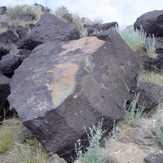
Four indigenous nations hold the mountain sacred, with the Diné (Navajo) knowing it as Tsoodził and honoring it as the southern boundary of their traditional homeland. Descendants of these communities still come here today to perform spiritual ceremonies and show respect for the site.
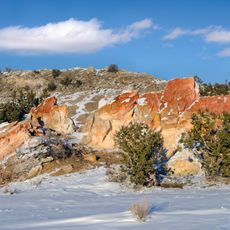
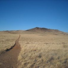
Trails wind through pine and fir forests toward open summit zones, with routes sometimes crossing snowfields depending on the season. The altitude can make the air feel thin, so plan time to adjust and bring plenty of water along.
Each year the Mount Taylor Winter Quadrathlon takes place here, an endurance race combining cycling, running, cross-country skiing, and snowshoeing. Participants must adapt to changing terrain and different techniques as they climb and descend the flanks of the volcano.
The community of curious travelers
AroundUs brings together thousands of curated places, local tips, and hidden gems, enriched daily by 60,000 contributors worldwide.