Enable Location

We need your location to show you interesting places around you

Discover nearby places

Find interesting locations and hidden gems around you

Precise directions

Get accurate directions and distances to places

Your location is never shared with other users. It's only used when you tap the location button.

Cibola County

Log in to your account

Join the adventure

Create your free account and start exploring (like 60k+ others)

We will send you a code to connect

or
Continue with Google
Continue with Apple
By continuing, you accept our Terms and Conditions and our Privacy Policy

Check your inbox

We've sent a pincode in your inbox. Please enter the code below.

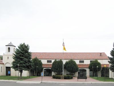
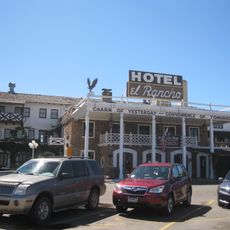
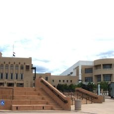
Cibola County, County seat in west central New Mexico, US

Description

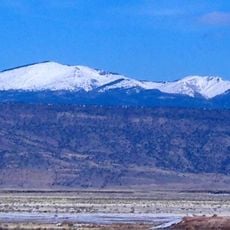
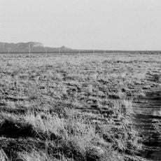
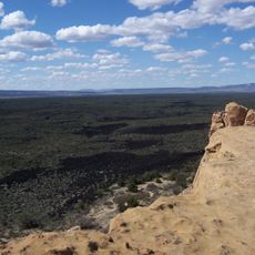
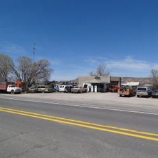
Cibola County occupies west central New Mexico and sits atop the Colorado Plateau, a high-elevation landscape. The terrain here ranges from valley floors to mountain ridges, with communities clustered around major towns and historical mining areas.

History

This county was created in 1981 when the western section of Valencia County was separated to form a new administrative unit. That division made it the youngest county in New Mexico at the time.

Culture

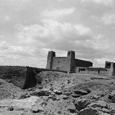
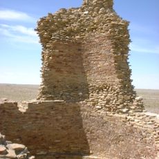
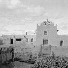
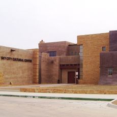
Three Pueblo nations call this region home: Acoma, Laguna, and Zuni communities maintain their presence here. Navajo settlements including Ramah add further layers to the local society and traditions visible throughout the land.

Practical

Interstate 40 runs through the region and provides good road access in both directions. The Grants Milan Airport offers flight connections for those needing regional air travel, and rail service also passes through the area.

Did you know?

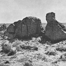
The name comes from the legendary Seven Cities of Cibola that Spanish explorers sought, believing they held great wealth in gold. That ancient tale shaped European expectations about the Southwest for centuries.

Location
Inception
1981
Capital city
Grants
Shares border with
McKinley County, Catron County, Sandoval County, Bernalillo County, Valencia County, Socorro County, Apache County
GPS coordinates
34.92000,-107.99000
Latest update
December 7, 2025 10:07

AroundUs brings together thousands of curated places, local tips, and hidden gems, enriched daily by 60,000 contributors worldwide. Discover all places nearby (New Mexico).

Around this place
Mount Taylor
United States of America

Mount Taylor

49.7 km
The Lightning Field
United States of America

The Lightning Field

46.1 km
Fort Wingate
United States of America

Fort Wingate

78.9 km
Hawikuh Ruins
United States of America

Hawikuh Ruins

90.8 km
El Rancho Hotel & Motel
United States of America

El Rancho Hotel & Motel

95.4 km
Bandera Volcano Ice Cave
United States of America

Bandera Volcano Ice Cave

11.6 km
Bluewater Lake State Park
United States of America

Bluewater Lake State Park

43.1 km
United States of America

Enchanted Mesa

40.1 km
El Malpais National Conservation Area
United States of America

El Malpais National Conservation Area

7.4 km
San Estevan Del Rey Mission Church
United States of America

San Estevan Del Rey Mission Church

37.3 km
United States of America

Dowa Yalanne

74.7 km
Cebolla Wilderness
United States of America

Cebolla Wilderness

20 km
Acoma Curio Shop
United States of America

Acoma Curio Shop

40.2 km
Datil-Mogollon Section
United States of America

Datil-Mogollon Section

40.9 km
Sacred Heart Cathedral
United States of America

Sacred Heart Cathedral

95.6 km
Grant meteorite
United States of America

Grant meteorite

29.3 km
Kin Ya-ah
United States of America

Kin Ya-ah

84.9 km
San Jose de la Laguna Mission and Convento
United States of America

San Jose de la Laguna Mission and Convento

56.3 km
Bowlin's Old Crater Trading Post
United States of America

Bowlin's Old Crater Trading Post

40.5 km
McKinley County Courthouse
United States of America

McKinley County Courthouse

95.9 km
Grants-Milan Flight Service Station
United States of America

Grants-Milan Flight Service Station

28.7 km
Roy T. Herman's Garage and Service Station
United States of America

Roy T. Herman's Garage and Service Station

57.2 km
Charley's Automotive Service
United States of America

Charley's Automotive Service

28.6 km
Redwood Lodge
United States of America

Redwood Lodge

95.6 km
Drake Hotel
United States of America

Drake Hotel

96 km
United States Post Office
United States of America

United States Post Office

96.1 km
Lebanon Lodge No. 22
United States of America

Lebanon Lodge No. 22

96 km
Sky City Cultural Center and Haak'u Museum

Sky City Cultural Center and Haak'u Museum

36.8 km
Show the full map
Administrative divisions
« Cibola County - County seat in west central New Mexico, US » is provided by Around Us (aroundus.com). Images and texts are derived from Wikimedia project under a Creative Commons license. You are allowed to copy, distribute, and modify copies of this page, under the conditions set by the license, as long as this note is clearly visible.

Discover hidden gems everywhere you go!

From secret cafés to breathtaking viewpoints, skip the crowded tourist spots and find places that match your style. Our app makes it easy with voice search, smart filtering, route optimization, and insider tips from travelers worldwide. Download now for the complete mobile experience.

Around Us App Screenshot

A unique approach to discovering new places

Le Figaro

All the places worth exploring

France Info

A tailor-made excursion in just a few clicks

20 Minutes

Around Us
Travel Guide & Maps
Download

Send to your phone

QR Code
1

Open the camera app on your mobile.

2

Point at the QR code with your camera. A notification will appear.

3

Tap the notification to open the link.