Chest opened
+${chestReward.xp} XP
Explorer
NOUVEAU ×${chestReward.collectible.quantity}
tapez pour fermer

See the monuments around you in AR Open chests in the app

Around Us is built for your phone — point your camera at the streets and discover the monuments and places around you in augmented reality. Around Us is built for your phone — chests unlock when you walk, explore and capture nearby places.

Enable Location

We need your location to show you interesting places around you

Discover nearby places

Find interesting locations and hidden gems around you

Precise directions

Get accurate directions and distances to places

Your location is never shared with other users. It's only used when you tap the location button.

Log in to your account

Start exploring — it's free

Trusted by 80,649 travelers worldwide

Continue with Google
Continue with Apple
or

We will send you a code to connect

By continuing, you accept our Terms and Conditions and our Privacy Policy

Check your inbox

We've sent a pincode in your inbox. Please enter the code below.

Dowa Yalanne
Discussion Reviews Photo
2.8k Popularity

Dowa Yalanne, Sacred mesa in McKinley County, United States

Dowa Yalanne is a mesa in McKinley County with steep sandstone cliffs that rise above the surrounding landscape southeast of Zuni Pueblo. The formation features distinctive geological structures carved from light-colored stone.

This mesa served as a significant settlement location for the Zuni people who valued its naturally fortified position. The elevation and cliff formation provided strategic advantages for the community over generations.

The Zuni people maintain sacred shrines across Dowa Yalanne, where traditional ceremonies and religious activities continue through generations.

Access to this mesa requires permission from Zuni tribal authorities before visiting. Visitors should contact local representatives in advance and follow any guidance provided for respectful engagement with the site.

The light-colored sandstone from this mesa is traditionally crafted into flat baking stones used in local food preparation methods. This practice connects the site's geological features to daily cultural techniques of the Zuni community.

The community of curious travelers

AroundUs brings together thousands of curated places, local tips, and hidden gems, enriched daily by 60,000 contributors worldwide.

Start exploring
Location
GPS coordinates
35.05281,-108.79230
Latest update
July 24, 2026 16:07
Around this place
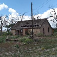
Fort Wingate
United States of America

Fort Wingate

51.6 km
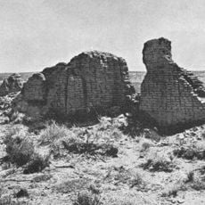
Hawikuh Ruins
United States of America

Hawikuh Ruins

22.1 km
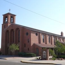
Sacred Heart Cathedral
United States of America

Sacred Heart Cathedral

52.8 km
United States of America

A:shiwi A:wan Museum and Heritage Center

5.6 km
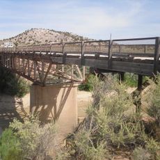
Allentown Bridge
United States of America

Allentown Bridge

41.6 km
Querino Canyon Bridge
United States of America

Querino Canyon Bridge

49.4 km
McKinley County Courthouse
United States of America

McKinley County Courthouse

52.7 km
United States of America

Evon Zartman Vogt Ranch House

29.1 km
United States of America

Cousins Bros. Trading Post

24 km
United States of America

Sanders Bridge

52.1 km
United States of America

Ashcroft-Merrill Historic District

28.6 km
United States of America

Southwestern Range and Sheep Breeding Laboratory Historic District

49.1 km
United States of America

El Morro Visitor Center

40.4 km
United States of America

Ramah Reservoir

30.3 km
United States of America

Black Rock Reservoir

4.2 km
United States of America

Los Gigantes

36.6 km
United States of America

Red Cliffs

45.5 km
United States of America

Upper Galestina Number One A Reservoir

14.8 km
United States of America

Upper Galestina Number 7 Reservoir

18.1 km
United States of America

Peñasco Bluff

51.3 km
United States of America

Francisco Lake

42.6 km
United States of America

Lookout Mountain Rim

48.3 km
United States of America

Vanderwagen Reservoir Number One

28.1 km
United States of America

Nutria Reservoir Number 4

23.4 km
United States of America

Fox Run Golf Course (Gallup)

51.7 km
United States of America

Yellowhorse trading post

41.5 km
United States of America

Arizona Boundary

41.4 km
United States of America

Big Falls

34 km
Show the full map
Reviews
Share your experience

No review yet

Discussions
Start a discussion...

No discussion yet

« Dowa Yalanne - Sacred mesa in McKinley County, United States » is provided by Around Us (aroundus.com). Images and texts are derived from Wikimedia project under a Creative Commons license. You are allowed to copy, distribute, and modify copies of this page, under the conditions set by the license, as long as this note is clearly visible.

Discover hidden gems everywhere you go!

From secret cafés to breathtaking viewpoints, skip the crowded tourist spots and find places that match your style. Our app makes it easy with voice search, smart filtering, route optimization, and insider tips from travelers worldwide. Download now for the complete mobile experience.

Around Us App Screenshot

A unique approach to discovering new places

Le Figaro

All the places worth exploring

France Info

A tailor-made excursion in just a few clicks

20 Minutes

Around Us
Travel Guide & Maps
Download

Send to your phone

QR Code
1

Open the camera app on your mobile.

2

Point at the QR code with your camera. A notification will appear.

3

Tap the notification to open the link.