Datil-Mogollon Section, Physiographic section of the Colorado Plateau in New Mexico and eastern Arizona, United States.
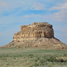
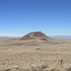
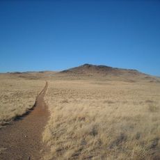
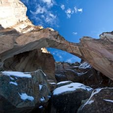
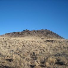
The Datil-Mogollon Section is a physiographic section along the southeastern rim of the Colorado Plateau in New Mexico and eastern Arizona. In Arizona it is mostly the White Mountain volcanic field, covered with thick lavas and tuffs and remnants of large stratovolcanoes of basaltic andesite. High tablelands are capped with tuffs, andesite and basalt lavas, and volcanic conglomeratic sandstones and mudstones.
The Datil-Mogollon Section is a newly defined physiographic unit that includes the southern part of the area previously called the Datil Section. It lies along the southeastern rim of the Colorado Plateau in New Mexico and eastern Arizona, where ancient lava flows extend south into the Mexican Highlands and make the plateau's border ill-defined.
The name Datil-Mogollon combines the earlier Datil Section with the Mogollon Rim, the roughly 200-mile (320 km) escarpment that forms the section's southwestern principal structure in Arizona. The unit is newly defined, covering the southern part of the former Datil Section. Visitors can trace the Mogollon Rim from northern Yavapai County eastward toward the New Mexico border.
Spring and autumn offer the best conditions for exploring, with moderate temperatures and clear visibility across the volcanic landscape. Sturdy footwear and plenty of water are essential since trails cross over rough volcanic rock and exposed terrain.
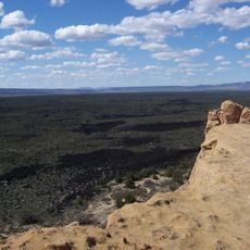
The section's largest lava-capped mesa stretches 46 miles (74 km) long and about 23 miles (37 km) wide, rising 1,900 ft (580 m) above the surrounding plain under a cap of roughly 300 ft (91 m) of lava. Ancient flows from here reach south into the Mexican Highlands, leaving the plateau's border ill-defined.
The community of curious travelers
AroundUs brings together thousands of curated places, local tips, and hidden gems, enriched daily by 93,612 contributors worldwide.