Wli Falls - Upper Falls
Location: Hohoe Municipal District
GPS coordinates: 7.10580,0.60972
Latest update: November 6, 2025 19:07

Mount Afadja
10.7 km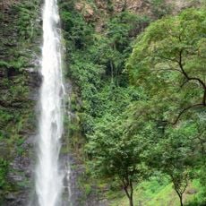
Wli waterfalls
2.9 km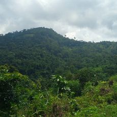
Forêt de Missahoé
16.5 km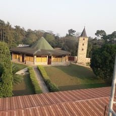
Abbaye de l'Ascension de Danyi-Dzogbegan
13.8 km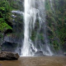
Chutes d'Yikpa
52 m
Monica Square
15.7 km
Kotoka's Statue
14.8 km
Natural painting center
15.1 km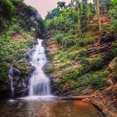
Kloto
16.2 km
Cascade de Kpimé
11.5 km
Wli Falls - Lower Falls
136 m
Scenic viewpoint
1 km
Scenic viewpoint
6.5 km
Danyi road
5.9 km
Mt. Afadjato Hiking Trail
10.2 km
Memorial
14.4 km
Road to Agotimé
12.8 km
Place de l'independance
15.4 km
Waterfall
319 m
Cascade Yikpa
118 m
Tagbo Falls
11.2 km
Waterfall
6.7 km
CASCADE DE KPIME
10.4 km
Cascade de Tokpli
15.1 km
Waterfall
6 km
Cascade Kamalo
17.2 km
Cascade de Kuma Tokpli
15.9 km
Cascade Tokpli
15.1 kmReviews
Visited this place? Tap the stars to rate it and share your experience / photos with the community! Try now! You can cancel it anytime.
Discover hidden gems everywhere you go!
From secret cafés to breathtaking viewpoints, skip the crowded tourist spots and find places that match your style. Our app makes it easy with voice search, smart filtering, route optimization, and insider tips from travelers worldwide. Download now for the complete mobile experience.

A unique approach to discovering new places❞
— Le Figaro
All the places worth exploring❞
— France Info
A tailor-made excursion in just a few clicks❞
— 20 Minutes