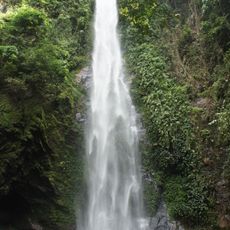
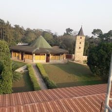
Forêt de Missahoé, Classified forest in Kloto, Togo.
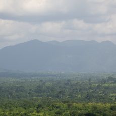
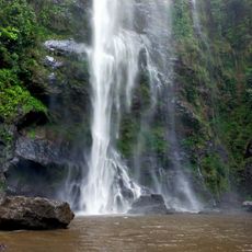
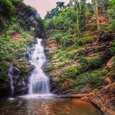
Forêt de Missahoé is a protected forest in Kloto on the southern slopes of Togo's mountains. The woodland contains mahogany, iroko, and other tree species that grow across the hilly terrain.
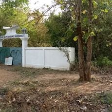
The forest was officially protected in 1953 when a French governor issued a decree to establish it. This action was part of efforts at the time to safeguard important woodland areas.
Local people gather firewood and medicinal plants here, showing how deeply connected they are to this place. You can see the marks of their daily work throughout the forest and feel how much it matters to them.
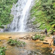
The best time to visit is from March to October when regular rainfall keeps the forest lush. The paths can be slippery, so wear sturdy shoes and allow time to explore at an easy pace.
The forest is home to more than 100 tree species and also shelters many insects including beetles and butterflies. This biodiversity makes it an important refuge for many animal and plant species.
The community of curious travelers
AroundUs brings together thousands of curated places, local tips, and hidden gems, enriched daily by 60,000 contributors worldwide.