
Road to Agotimé
Location: Région des Plateaux
GPS coordinates: 7.01541,0.68197
Latest update: October 15, 2025 21:42
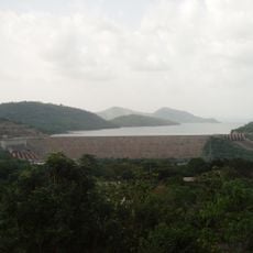
Akosombo Dam
105.3 km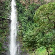
Wli waterfalls
15.7 km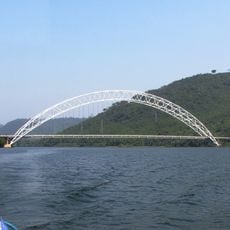
Adome Bridge
108 km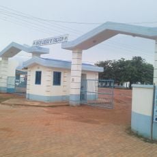
Akatsi College of Education
107.2 km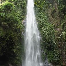
Tagbo Falls
41 km
Mount Agou
17.5 km
Nangbeto Dam
95.3 km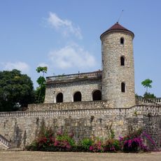
Château Vial
13.1 km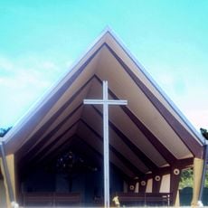
St. Barbara Catholic Church
105.9 km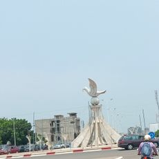
Colombe de la Paix
113.9 km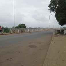
Lower Volta Bridge
114.1 km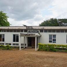
Volta Regional Museum
51 km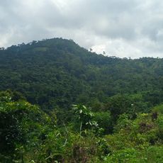
Forêt de Missahoé
11.6 km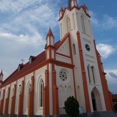
Holy Spirit Cathedral, Kpalimé
13.2 km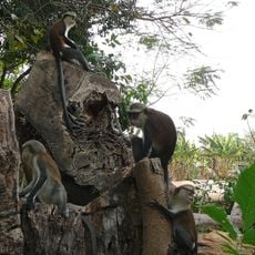
Tafi Atome
34.9 km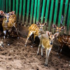
Fauna Zoo
108 km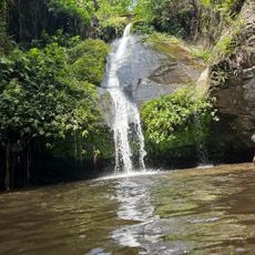
Cascade de Wome
22.5 km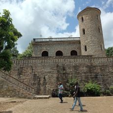
Château Viale
13.1 km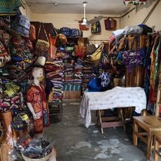
Village Artisanal
114.8 km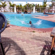
O2
98.8 km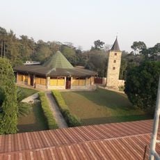
Abbaye de l'Ascension de Danyi-Dzogbegan
20.4 km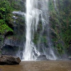
Chutes d'Yikpa
12.9 km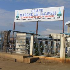
Marché de Cacavéli
106.7 km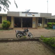
Akatsi District Hospital
98.6 km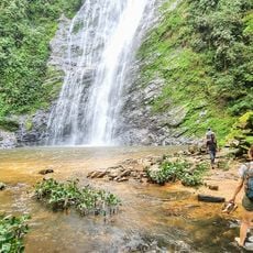
Akloa Waterfall
56 km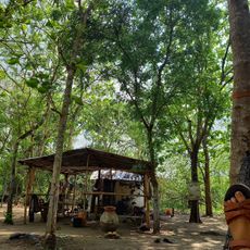
Adjif Art
82.2 km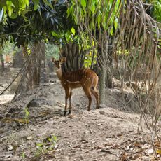
Parc Zoo de Témédja
69.8 km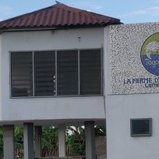
Ferme d'Aquaculture La Main de Dieu
87.3 kmReviews
Visited this place? Tap the stars to rate it and share your experience / photos with the community! Try now! You can cancel it anytime.
Discover hidden gems everywhere you go!
From secret cafés to breathtaking viewpoints, skip the crowded tourist spots and find places that match your style. Our app makes it easy with voice search, smart filtering, route optimization, and insider tips from travelers worldwide. Download now for the complete mobile experience.

A unique approach to discovering new places❞
— Le Figaro
All the places worth exploring❞
— France Info
A tailor-made excursion in just a few clicks❞
— 20 Minutes