TAMTROUCHT
Location: Bouyablane بويبلان
GPS coordinates: 33.77507,-4.07637
Latest update: October 26, 2025 19:24

Friouato caves
49.5 km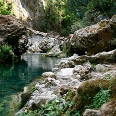
Tazekka National Park
34.8 km
Great Mosque of Taza
49 km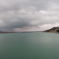
Idriss I Dam
75.5 km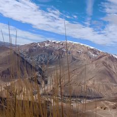
Jbel Bou Naceur
28.9 km
Allal al Fassi Dam
58.2 km
Medina of Taza
48.5 km
El Bestioun Taza
48.7 km
Msoun
64 km
Bab Jemaa
48.8 km
Taza Jewish Cemetery
49.1 km
El Ouad el Bared
11.1 km
Scenic viewpoint
41.4 km
Tizi Ou Zekri pass
7.5 km
Gouffre du Friouato
36.7 km
Plaza de la Independencia
50.2 km
Tamtroucht
208 m
Afousar
9.4 km
Dr Hssaynate
74.8 km
Sidi Hrazem
79.7 km
BAD EL MAQAM
70.8 km
Scenic viewpoint
17.1 km
جسر تاريا مادي
25.6 km
Scenic viewpoint
10.6 km
Scenic viewpoint
33.6 km
Scenic viewpoint
49.1 km
Panoramic View of Jebel Bouiblane
32.1 km
Scenic viewpoint
72 kmReviews
Visited this place? Tap the stars to rate it and share your experience / photos with the community! Try now! You can cancel it anytime.
Discover hidden gems everywhere you go!
From secret cafés to breathtaking viewpoints, skip the crowded tourist spots and find places that match your style. Our app makes it easy with voice search, smart filtering, route optimization, and insider tips from travelers worldwide. Download now for the complete mobile experience.

A unique approach to discovering new places❞
— Le Figaro
All the places worth exploring❞
— France Info
A tailor-made excursion in just a few clicks❞
— 20 Minutes