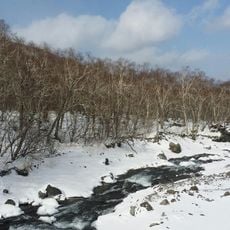
地下森林
Location: 池北区
Location: 二道白河镇 이도백하진
GPS coordinates: 42.09591,128.06724
Latest update: November 13, 2025 09:49
Baekdu Mountain
11.5 km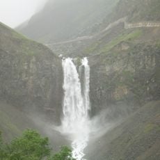
Changbai Waterfall
6.9 km
Mount Paektu Funicular
11.4 km
Changbaishan National Nature Reserve
7.3 km
Pyŏngsa-bong
12.4 km
Changbaishan Ziranbaohuqu
12 km
Taeyŏnji-bong
14.6 km
Scenic viewpoint
7.8 km
Scenic viewpoint
63 m
Ladder River
18.1 km
Alpine Garden
20.1 km
Sinmusong Temple
25.2 km
Genshin Impact×Changbaishan - Statu of The Seven
23.3 km
Scenic viewpoint
13 km
West slope climbing step
12.2 km
Scenic viewpoint
7.8 km
Scenic viewpoint
7.8 km
Viewing platform for the waterfall
6.4 km
Iris Garden
19.4 km
Scenic viewpoint
4.1 km
Scenic viewpoint
4.3 km
观崖台
5.4 km
长白山西坡
11.5 km
中朝界碑
12.9 km
백두폭포
15.1 km
사기문폭포
13.1 km
형제폭포
16.8 km
长白瀑布
6.9 kmReviews
Visited this place? Tap the stars to rate it and share your experience / photos with the community! Try now! You can cancel it anytime.
Discover hidden gems everywhere you go!
From secret cafés to breathtaking viewpoints, skip the crowded tourist spots and find places that match your style. Our app makes it easy with voice search, smart filtering, route optimization, and insider tips from travelers worldwide. Download now for the complete mobile experience.

A unique approach to discovering new places❞
— Le Figaro
All the places worth exploring❞
— France Info
A tailor-made excursion in just a few clicks❞
— 20 Minutes