Baekdu Mountain, Active stratovolcano at China-North Korea border.
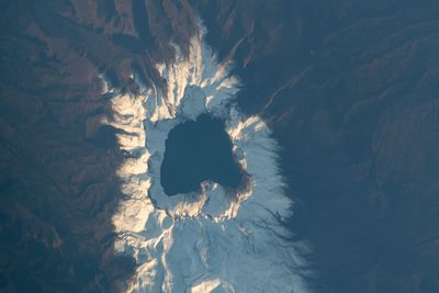
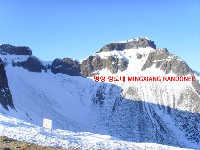
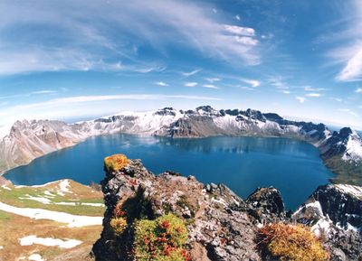
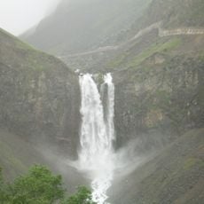
Baekdu Mountain is an active stratovolcano on the border between China and North Korea, its summit rising to 2744 meters (about 9000 feet) above sea level. At its highest point sits a crater lake called Heaven Lake with a circumference of 14 kilometers (roughly 9 miles), surrounded by steep volcanic walls and jagged rock formations.
In 946, one of Earth's largest volcanic eruptions occurred here, creating the present caldera basin and distributing ash deposits as far as Japan. Over centuries, the peak marked boundaries between different kingdoms until it was officially divided between China and North Korea after the Korean War.
Korean mythology places this volcano as the birthplace of Dangun, founder of the first Korean kingdom, a connection visible today in ceremonies and place names. The summit carries the name Janggun Peak on the North Korean side, while Chinese visitors know it as Baitou Shan, both names describing the same white-topped appearance.
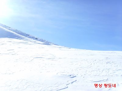
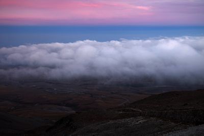
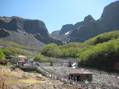
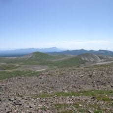
Snow cover remains for eight months each year, with summer temperatures reaching around 18°C (64°F) and winter dropping to minus 48°C (minus 54°F). Trails on the Chinese side offer easier access to the crater rim, while routes from North Korea are steeper and require permits.
Three major river systems originate from the crater lake, the Songhua, Tumen, and Yalu, which flow in different directions through China and North Korea. Geologists continue to monitor seismic activity in the area, as the volcano is considered dormant but not extinct.
The community of curious travelers
AroundUs brings together thousands of curated places, local tips, and hidden gems, enriched daily by 60,000 contributors worldwide.