
Рериховский камень
Location: Катандинское сельское поселение
GPS coordinates: 49.92019,86.58509
Latest update: November 13, 2025 11:13
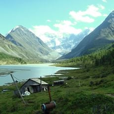
Akkem
3.1 km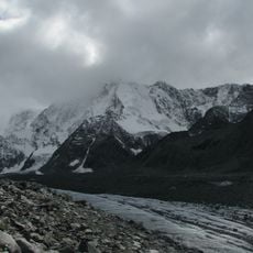
Lednik Akkem
9.8 km
Lednik Mensu
11.1 km
Valley of seven lakes
6.1 km
Каменный город
8 m
Scenic viewpoint
5.5 km
Scenic viewpoint
5.6 km
Scenic viewpoint
4.8 km
Scenic viewpoint
459 m
Плато Сарыбель
4.1 km
Вид на Ак-Оюк
6 km
Scenic viewpoint
9.5 km
Scenic viewpoint
10.6 km
Scenic viewpoint
2.5 km
Scenic viewpoint
11.3 km
Каменная изба
10.4 km
Memorial
4.7 km
Memorial
6.1 km
Memorial, commemorative plaque
10.5 km
Памятник двум погибшим при переправе
3 km
Малый Текелю
8 km
Высотник
3.6 km
Текелю
5.5 km
Waterfall
4 km
Waterfall
1.1 km
Cлёзы Девушки
5.7 km
Waterfall
4.5 km
Менсу
11.3 kmReviews
Visited this place? Tap the stars to rate it and share your experience / photos with the community! Try now! You can cancel it anytime.
Discover hidden gems everywhere you go!
From secret cafés to breathtaking viewpoints, skip the crowded tourist spots and find places that match your style. Our app makes it easy with voice search, smart filtering, route optimization, and insider tips from travelers worldwide. Download now for the complete mobile experience.

A unique approach to discovering new places❞
— Le Figaro
All the places worth exploring❞
— France Info
A tailor-made excursion in just a few clicks❞
— 20 Minutes