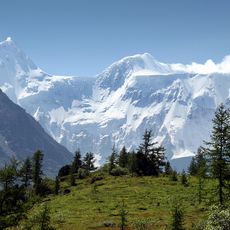
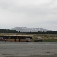
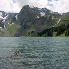
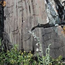
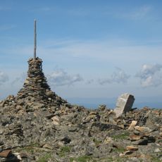
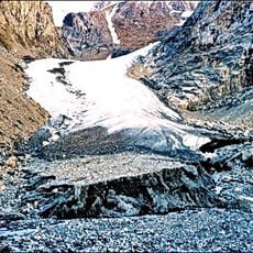
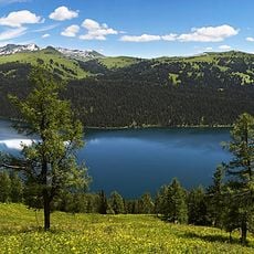
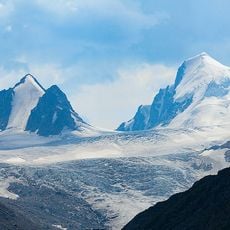
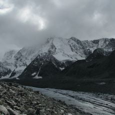
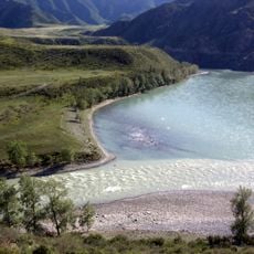
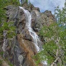
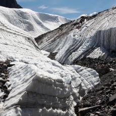
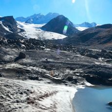
Katandinskoye rural settlement, human settlement in Ust-Koksinsky District, Altai Republic, Russia
The community of curious travelers
AroundUs brings together thousands of curated places, local tips, and hidden gems, enriched daily by 60,000 contributors worldwide.
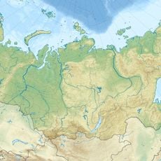
Location
Capital city
Katanda
GPS coordinates
50.16750,86.17556
Latest update
May 12, 2025 13:24