Devil rock
Location: Ивангородское городское поселение
GPS coordinates: 59.38268,28.22494
Latest update: November 18, 2025 07:11
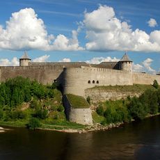
Ivangorod Fortress
1.3 km
Narva bastions
1.3 km
Victoria Bastion
1.2 km
Dark Garden
1.2 km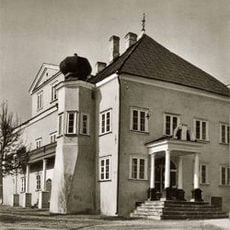
Дом Петра I
1.3 km
Музей имени супругов Лаврецовых
1.3 km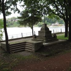
Monument Põhjasõjas Narva piiramisel langenud vene sõjaväelastele
1.1 km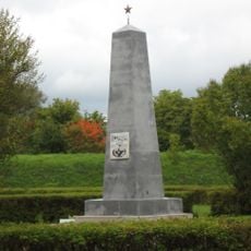
Gemeinschaftsgrab für die Toten des Zweiten Weltkriegs in Narva
1.2 km
Kreenholmi sadamalaod
1.1 km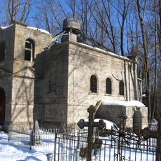
Покровская церковь (Петра и Павла) (Ивангород)
990 m
Graffiti, Work of art
1.3 km
Graffiti, Work of art
1.3 km
Боярский вал (Горнверк)
1.2 km
Rootsi terrassi lõvid
1.1 km
Kanone
1.3 km
Graffiti, Work of art
1.3 km
Graffiti, Work of art
1.3 km
Graffiti, Work of art
1.3 km
Graffiti, Work of art
1.3 km
Передний город
1.3 km
Scenic viewpoint
1.2 km
Monument Põhjasõjas langenud vene sõjaväelastele
1.1 km
На этом месте находился храм
778 m
Ивангородские (Колыванские) ворота
1.3 km
Albert Üksip
1.2 km
Memorial, commemorative plaque
1.1 km
Танк ВОВ
835 m
Нарвское Знаменское кладбище XVII век
1 kmReviews
Visited this place? Tap the stars to rate it and share your experience / photos with the community! Try now! You can cancel it anytime.
Discover hidden gems everywhere you go!
From secret cafés to breathtaking viewpoints, skip the crowded tourist spots and find places that match your style. Our app makes it easy with voice search, smart filtering, route optimization, and insider tips from travelers worldwide. Download now for the complete mobile experience.

A unique approach to discovering new places❞
— Le Figaro
All the places worth exploring❞
— France Info
A tailor-made excursion in just a few clicks❞
— 20 Minutes