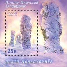
Manpupuner rock formations
170 m
Kholat Syakhl
56.5 km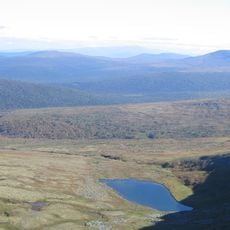
Otorten
44.3 km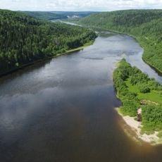
Vishera
67.9 km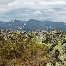
Vishera Nature Reserve
86.4 km
Medvezhya peshchera
41.1 km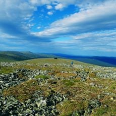
Puramunitur
65.6 km
Barrel
13 km
Шатуны
56.1 km
Сарай Олега
40.5 km
Сарай Олега
40.5 km
Tomb
40.5 km
Знак "главная дорога"
14.6 km
Ворота Отортена
44.1 km
Знак Европа - Азия
10.2 km
Кратер
55.5 km
Кедр, у которого нашли часть группы Дятлова
55.6 km
Водопад урочища Йети
55.6 km
Европа/Азия
26.5 km
The source of the Pechora River
9.3 km
Маньпупунёр
525 m
Граница трёх регионов и трёх федеральных округов
66.4 km
Scenic viewpoint
57 m
Скала Кабан
86.4 km
Большие мансийские болваны (северная группа из 7 останцов)
32 m
Чистоп
87.9 km
Scenic viewpoint
99.9 km
Столб № 521/522
105.8 kmReviews
Visited this place? Tap the stars to rate it and share your experience / photos with the community! Try now! You can cancel it anytime.
Discover hidden gems everywhere you go!
From secret cafés to breathtaking viewpoints, skip the crowded tourist spots and find places that match your style. Our app makes it easy with voice search, smart filtering, route optimization, and insider tips from travelers worldwide. Download now for the complete mobile experience.

A unique approach to discovering new places❞
— Le Figaro
All the places worth exploring❞
— France Info
A tailor-made excursion in just a few clicks❞
— 20 Minutes