Enable Location

We need your location to show you interesting places around you

Discover nearby places

Find interesting locations and hidden gems around you

Precise directions

Get accurate directions and distances to places

Your location is never shared with other users. It's only used when you tap the location button.

Puramunitur

Log in to your account

Start exploring — it's free

Trusted by 61,343 travelers worldwide

Continue with Google
Continue with Apple
or

We will send you a code to connect

By continuing, you accept our Terms and Conditions and our Privacy Policy

Check your inbox

We've sent a pincode in your inbox. Please enter the code below.

Puramunitur

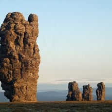
Puramunitur, Mountain summit in Sverdlovsk Oblast, Russia

Description

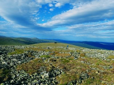
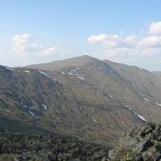
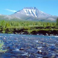
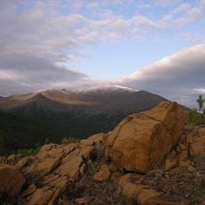
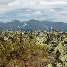
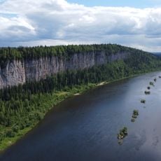
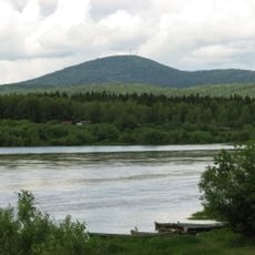
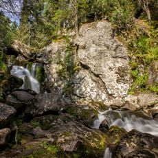
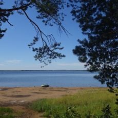
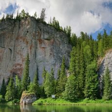
Puramunitur is a summit located at approximately 1,600 meters on the eastern slopes of the Ural Mountains in a vast taiga forest region. The surrounding area features dense woodlands crisscrossed by numerous trails suitable for hiking and exploration.

History

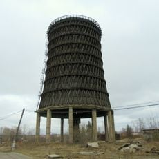
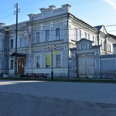
The mountain stands in a territory that was shaped by Turkic and Ugrian peoples before Russian expansion in the 18th century transformed it into an emerging industrial center. The region shifted from traditional settlement patterns to a hub of metalworking and mining activities.

Culture

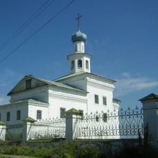
The mountain sits in a region where different local communities maintain their traditions and use the land for various activities passed down through generations. The area reflects the diversity of people who have lived here for centuries.

Practical

The summit is reachable via several established trails that wind through the forested terrain, and carrying a map or navigation tool is recommended for orientation. Visitors should prepare for changing weather conditions and rough ground, particularly during cooler months.

Did you know?

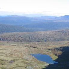
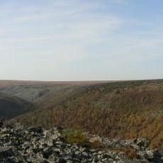
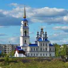
The summit offers views over a heavily industrialized valley where most of the population concentrates in urban centers built around resource extraction and processing. This contrast between wild nature at the peak and dense development below creates a striking impression.

GPS coordinates
61.67028,59.35889
Latest update
December 14, 2025 20:28

AroundUs brings together thousands of curated places, local tips, and hidden gems, enriched daily by 60,000 contributors worldwide. Discover all places nearby (Sverdlovsk Oblast).

Around this place
Manpupuner rock formations
Russian Federation

Manpupuner rock formations

65.5 km
North Urals
Russian Federation

North Urals

37 km
Otorten
Russian Federation

Otorten

21.3 km
Pechora-Ilych Nature Reserve
Russian Federation

Pechora-Ilych Nature Reserve

137.8 km
Yugyd Va National Park
Russian Federation

Yugyd Va National Park

311.4 km
Zapovednik Denezhkin Kamen
Russian Federation

Zapovednik Denezhkin Kamen

139.6 km
Vishera Nature Reserve
Russian Federation

Vishera Nature Reserve

22.1 km
Vetlan Rock
Russian Federation

Vetlan Rock

179.9 km
Polyudov Kamen
Russian Federation

Polyudov Kamen

183 km
Northern Catherine Canal
Russian Federation

Northern Catherine Canal

237.4 km
Kvarkush
Russian Federation

Kvarkush

167 km
Wooden cooling tower
Russian Federation

Wooden cooling tower

170.4 km
Synagogue in Yekaterinburg
Russian Federation

Synagogue in Yekaterinburg

180.2 km
Zhigalan Waterfalls
Russian Federation

Zhigalan Waterfalls

171.5 km
Presentation Cathedral in Karpinsk
Russian Federation

Presentation Cathedral in Karpinsk

216.5 km
Cherdyn museum
Russian Federation

Cherdyn museum

209.8 km
John the Theologian monastery
Russian Federation

John the Theologian monastery

209 km
Saints Peter and Paul
Russian Federation

Saints Peter and Paul

172.8 km
Lake Nyukhti
Russian Federation

Lake Nyukhti

218.4 km
Evgraf Fedorov Geological Museum
Russian Federation

Evgraf Fedorov Geological Museum

216.7 km
Saint Nicholas Church, Nyrob
Russian Federation

Saint Nicholas Church, Nyrob

175.7 km
Lake Svetloye
Russian Federation

Lake Svetloye

134.7 km
Church of the Dormition
Russian Federation

Church of the Dormition

209.7 km
Varysh Rock on the Beryozovaya River
Russian Federation

Varysh Rock on the Beryozovaya River

118.3 km
Часовня Александра Невского (Краснотурьинск)
Russian Federation

Часовня Александра Невского (Краснотурьинск)

216.8 km
Церковь Иконы Смоленской Божией Матери
Russian Federation

Церковь Иконы Смоленской Божией Матери

238.4 km
Церковь Рождества Богородицы (фундамент)
Russian Federation

Церковь Рождества Богородицы (фундамент)

195.7 km
Евангелическо-лютеранская церковь (Краснотурьинск)
Russian Federation

Евангелическо-лютеранская церковь (Краснотурьинск)

217.3 km
Show the full map
« Puramunitur - Mountain summit in Sverdlovsk Oblast, Russia » is provided by Around Us (aroundus.com). Images and texts are derived from Wikimedia project under a Creative Commons license. You are allowed to copy, distribute, and modify copies of this page, under the conditions set by the license, as long as this note is clearly visible.

Discover hidden gems everywhere you go!

From secret cafés to breathtaking viewpoints, skip the crowded tourist spots and find places that match your style. Our app makes it easy with voice search, smart filtering, route optimization, and insider tips from travelers worldwide. Download now for the complete mobile experience.

Around Us App Screenshot

A unique approach to discovering new places

Le Figaro

All the places worth exploring

France Info

A tailor-made excursion in just a few clicks

20 Minutes

Around Us
Travel Guide & Maps
Download

Send to your phone

QR Code
1

Open the camera app on your mobile.

2

Point at the QR code with your camera. A notification will appear.

3

Tap the notification to open the link.