Северная Ойкумена
Location: городское поселение Дудинка
GPS coordinates: 68.80060,91.28069
Latest update: November 1, 2025 15:17
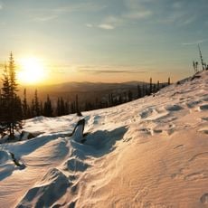
Putorana Plateau
67.9 km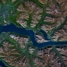
Lake Lama
95.2 km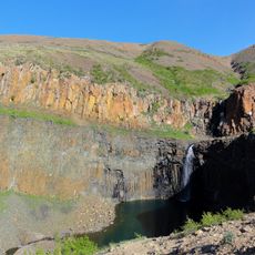
Krasnye Kamny
132.7 km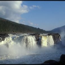
Great Kureika waterfall
133.9 km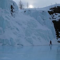
Putoransky Nature Reserve
118.4 km
Mural, Work of art
135.8 km
Водопад на р.Ю.Нералах
71.8 km
Изба
68.9 km
Изба
65.7 km
Кордон Кета
9.9 km
Кордон Кутарамакан
25.6 km
Изба и баня
84.1 km
Избы
108.3 km
Столбы
107.8 km
Каменный куб
127.2 km
Ущелье Красные камни
132.7 km
Чум
97.7 km
Scenic viewpoint
87.5 km
Scenic viewpoint
80.9 km
Свадьба рек
86.3 km
Галочка
75.3 km
Scenic viewpoint
34 km
Scenic viewpoint
54.7 km
Scenic viewpoint
45.7 km
Scenic viewpoint
60 km
Scenic viewpoint
60.4 km
Здесь начинался Талнах
135 km
БелАЗ
135.6 kmReviews
Visited this place? Tap the stars to rate it and share your experience / photos with the community! Try now! You can cancel it anytime.
Discover hidden gems everywhere you go!
From secret cafés to breathtaking viewpoints, skip the crowded tourist spots and find places that match your style. Our app makes it easy with voice search, smart filtering, route optimization, and insider tips from travelers worldwide. Download now for the complete mobile experience.

A unique approach to discovering new places❞
— Le Figaro
All the places worth exploring❞
— France Info
A tailor-made excursion in just a few clicks❞
— 20 Minutes