Tree lane
Location: จังหวัดอุบลราชธานี
GPS coordinates: 14.89986,105.06126
Latest update: November 18, 2025 10:47
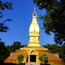
Wat Nong Pa Phong
38.3 km
Wat Supatnaram Worawihan
42.6 km
Wat Phu Khao Kaeo
42.1 km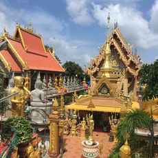
Wat Tai Phra Chao Yai Ong Tue
42 km
Wat Thung Si Mueang
42.6 km
The Democracy Bridge 1954
42.1 km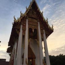
Wat Luang
42.2 km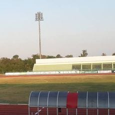
Ubon Ratchathani University Stadium
29.6 km
Sirindhorn Reservoir
39.8 km
Prasat Ban Ben
18.9 km
Wat Non Pa Lao
32.2 km
Ang Kep Nam Huai Phi Plaeng
37.8 km
Ang Kep Nam Huai Kaeng Tip
15.2 km
Ang Kep Nam Huai Kaeng Kom
12.8 km
Ang Kep Nam Huai Chanthabut
42.5 km
Ang Kep Nam Huai Wang Daeng
40.7 km
Ang Kep Nam Huai Khi Klak
41.6 km
Ang Kep Nam Huai Sado
17.6 km
Wat Ban Phon Ngam
37.9 km
Wat Non Kasem
26.3 km
Baan Suan Golf Course
41.8 km
Prasat Ban Ben
18.9 km
Old Steamtrain
39.9 km
Trouser
40 km
ศาลเจ้าพ่อไทรเงิน
42.2 km
อนุสาวรีย์พระบำรุงราษฎร์(จูมมณี)
42.6 km
King's memorial
39.9 km
Prasat Ban Ben
18.9 kmReviews
Visited this place? Tap the stars to rate it and share your experience / photos with the community! Try now! You can cancel it anytime.
Discover hidden gems everywhere you go!
From secret cafés to breathtaking viewpoints, skip the crowded tourist spots and find places that match your style. Our app makes it easy with voice search, smart filtering, route optimization, and insider tips from travelers worldwide. Download now for the complete mobile experience.

A unique approach to discovering new places❞
— Le Figaro
All the places worth exploring❞
— France Info
A tailor-made excursion in just a few clicks❞
— 20 Minutes