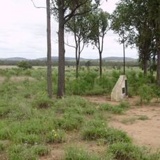
Red Shag on a White Rock
Location: Eidsvold West
Location: North Burnett Regional
GPS coordinates: -25.32917,150.50683
Latest update: November 3, 2025 12:24
Taroom Aboriginal Settlement
68.9 km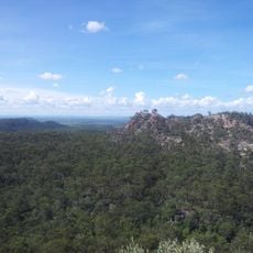
Isla Gorge National Park
61.8 km
Auburn River National Park
70.1 km
Precipice National Park
38.7 km
Eidsvold Homestead
58.1 km
The Glebe Homestead
53.5 km
Wuruma Reservoir
50.5 km
Theodore Home & Garden Cafe
60.8 km
Kirar Weir
57.4 km
Town Weir
62.3 km
Mulgildie Weir
68.4 km
RM Williams Australian Bush Learning Centre and Visitor Information
62.8 km
Scenic viewpoint
77.2 km
333333.3
76.9 km
Eidsvold Golf Course
62.4 km
Mulgildie Hotel, Arthur Hamblin Gallery/Diner
75 km
Bunyip Hole Mural
74.9 km
Work of art
77.8 km
Scenic viewpoint
61.3 km
Scenic viewpoint
56 km
Theodore Golf Club
58 km
Hurdle Gully Lookout
68.7 km
Scenic viewpoint
68.8 km
Scenic viewpoint
69.6 km
Scenic viewpoint
56.2 km
Cracow ANZAC Memorial
20.8 km
Ceretodus Railway Station
63.9 km
Memorial
63.8 kmReviews
Visited this place? Tap the stars to rate it and share your experience / photos with the community! Try now! You can cancel it anytime.
Discover hidden gems everywhere you go!
From secret cafés to breathtaking viewpoints, skip the crowded tourist spots and find places that match your style. Our app makes it easy with voice search, smart filtering, route optimization, and insider tips from travelers worldwide. Download now for the complete mobile experience.

A unique approach to discovering new places❞
— Le Figaro
All the places worth exploring❞
— France Info
A tailor-made excursion in just a few clicks❞
— 20 Minutes