
Eidsvold West, locality in Queensland, Australia
Location: North Burnett Regional
GPS coordinates: -25.36364,150.67160
Latest update: April 17, 2025 07:44
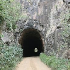
Boolboonda Tunnel
105.9 km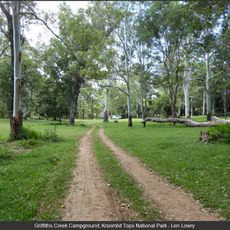
Kroombit Tops National Park
109.4 km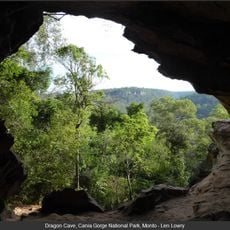
Cania Gorge National Park
82.7 km
Leichhardt Tree, Taroom
93.3 km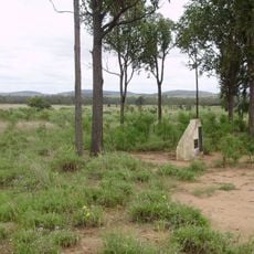
Taroom Aboriginal Settlement
83.2 km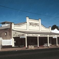
Mellors Drapery and Haberdashery
98.7 km
Isla Gorge National Park
78.7 km
Precipice National Park
55.2 km
Eidsvold Homestead
41.3 km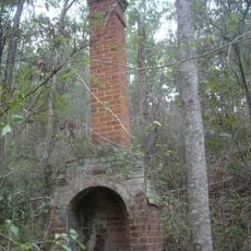
Glassford Creek Smelter Sites
105.7 km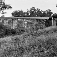
Ideraway Creek Railway Bridge
98 km
Beeron National Park
96.3 km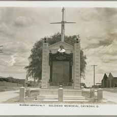
Gayndah War Memorial
98.8 km
Mount Perry Powder Magazine
101.1 km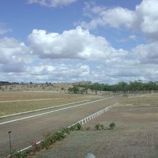
Gayndah Racecourse
97.1 km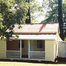
Boolboonda State School
106.4 km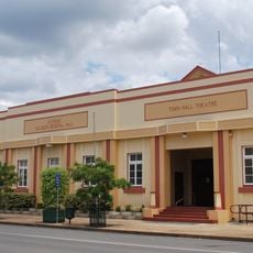
Gayndah Shire Hall
98.7 km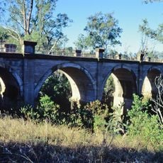
Humphery Railway Bridge
83.4 km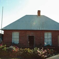
Brick Cottage, Gayndah
98.9 km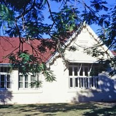
Gayndah State School
98.2 km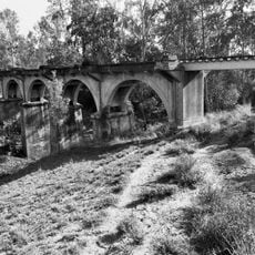
Steep Rocky Creek Railway Bridge
97.9 km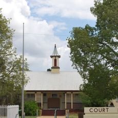
Gayndah Court House
98.6 km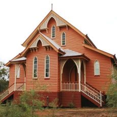
St Patricks Church, Mount Perry
99.8 km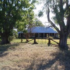
The Glebe Homestead
68.4 km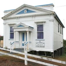
Mount Perry Masonic Lodge
100 km
Ventnor State School
79.9 km
Nour Nour National Park
84.4 km
Bania National Park
86 kmReviews
Visited this place? Tap the stars to rate it and share your experience / photos with the community! Try now! You can cancel it anytime.
Discover hidden gems everywhere you go!
From secret cafés to breathtaking viewpoints, skip the crowded tourist spots and find places that match your style. Our app makes it easy with voice search, smart filtering, route optimization, and insider tips from travelers worldwide. Download now for the complete mobile experience.

A unique approach to discovering new places❞
— Le Figaro
All the places worth exploring❞
— France Info
A tailor-made excursion in just a few clicks❞
— 20 Minutes