Cania Gorge National Park, Nature reserve in North Burnett Regional, Australia.
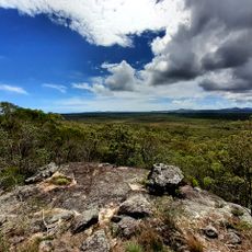
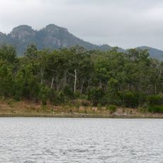
Cania Gorge National Park lies in the North Burnett Region near Monto, 373 km northwest of Brisbane, and is named for the gorge cut by Three Moon Creek. Its dominant feature is a line of 70 m sandstone cliffs above the creek, with cypress pine and eucalypt woodland, brigalow forest, dry rainforest and grassland holding over 150 plant species.
Cania Gorge National Park was gazetted on 16 December 1994 in the North Burnett Region, Queensland, in the locality of Cania. The sources record no land donations behind its creation; the park lies 373 km northwest of Brisbane and 20 km northwest of Monto, with Three Moon Creek running the length of the gorge.
Aboriginal rock art on the cliff walls shows Indigenous settlement of the area dating back at least 19,000 years. The paintings are on the sandstone of Cania Gorge, which Three Moon Creek runs through.
Most walking tracks start at the picnic area beside the main road into the park, 8 km from the Burnett Highway, where covered tables, toilets and gas barbecues are provided. From there, trails lead 1.1 km to Dripping Rock, 1.6 km to The Overhang and 1.3 km to Bloodwood Cave. The longest walk, a 5.6 km circuit to Giants Chair Lookout and Fern Tree Pool, begins at a small car park 500 m south of the picnic area and suits only walkers with moderate fitness.
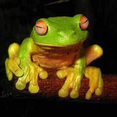
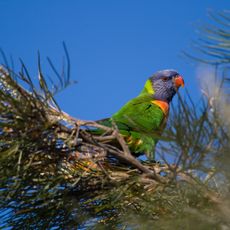
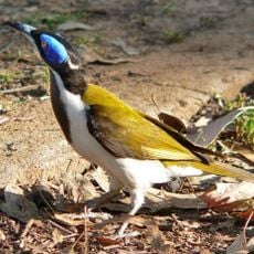
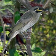
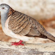
The park's wildlife list includes the bettong alongside rock wallabies, platypus and geckos, with over 90 bird species recorded. More than 150 plant species grow here, from cypress pine and eucalypt woodland to brigalow forest, dry rainforest and grassland.
The community of curious travelers
AroundUs brings together thousands of curated places, local tips, and hidden gems, enriched daily by 94,648 contributors worldwide.