Ag-Quip Field Days
Location: Gunnedah
Location: Gunnedah Shire Council
GPS coordinates: -30.97210,150.19882
Latest update: October 11, 2024 01:48
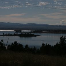
Keepit Dam
30.6 km
Keepit National Park
30 km
Gunnedah Rural Museum
3.6 km
Wondoba State Conservation Area
16.2 km
Dowe National Park
34.9 km
Lake Keepit Park
30 km
Mullaley Park
30.9 km
Lake Keepit State Park
30 km
Porcupine Lookout
6.9 km
Talcumbah Lookout
30.1 km
Scenic viewpoint
7 km
Scenic viewpoint
7 km
Avards Lookout
7.1 km
Scenic viewpoint
7.1 km
Ruvigne Lookout
7 km
Scenic viewpoint
6.9 km
Gunnedah Cenotaph
5.4 km
Monument
5.4 km
Ginnagulla Lookout
30.1 km
Scenic viewpoint
7 km
Smithurst Theatre
5.1 km
Mullaley Park
30.9 km
Miners Memorial
5 km
Boggabri Golf Course
31.1 km
Thunderbolt Lookout
32.5 km
Memorial
33.2 km
John Oxley historic marker
33.3 km
Gunnedah Golf Club
4.7 kmReviews
Visited this place? Tap the stars to rate it and share your experience / photos with the community! Try now! You can cancel it anytime.
Discover hidden gems everywhere you go!
From secret cafés to breathtaking viewpoints, skip the crowded tourist spots and find places that match your style. Our app makes it easy with voice search, smart filtering, route optimization, and insider tips from travelers worldwide. Download now for the complete mobile experience.

A unique approach to discovering new places❞
— Le Figaro
All the places worth exploring❞
— France Info
A tailor-made excursion in just a few clicks❞
— 20 Minutes