Fußball
Location: Kopfing im Innkreis
GPS coordinates: 48.44959,13.67538
Latest update: November 14, 2025 16:31
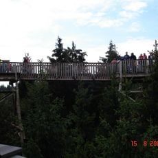
Baumkronenweg Kopfing
132 m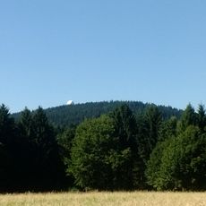
Feichtberg
2.4 km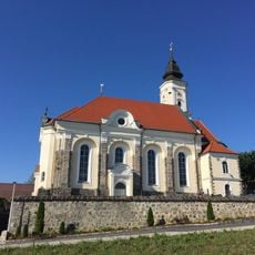
Pfarrkirche Kopfing
1.7 km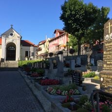
Friedhof Kopfing
1.7 km
Schanze Hochholding-Dornedt
2 km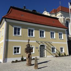
Pfarrhof Kopfing
1.8 km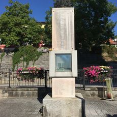
Kriegerdenkmal Kopfing
1.7 km
Jungfraustein bei Natternbach
2.4 km
Barfußweg
64 m
Riesenschaukel
40 m
Kletterturm
161 m
Riesen-Trampolin
153 m
Gruppen-Baumhaus
174 m
Niederseilgarten
37 m
Jungfraustein
2.3 km
Waldbühne
85 m
Labyrinth
108 m
Ameishochstein
2.3 km
Fuchsbau
62 m
Alpaka, Lama
63 m
Riesenrutsche
197 m
Rupertusstein
2 km
Baumhotel
129 m
Baumkronenweg
561 m
Ameisberg Aussichtspunkt
2.2 km
Schanzenanlage Hochholding
2 km
Edlman Kreuz
587 m
Franzosenkreuz
1.9 kmReviews
Visited this place? Tap the stars to rate it and share your experience / photos with the community! Try now! You can cancel it anytime.
Discover hidden gems everywhere you go!
From secret cafés to breathtaking viewpoints, skip the crowded tourist spots and find places that match your style. Our app makes it easy with voice search, smart filtering, route optimization, and insider tips from travelers worldwide. Download now for the complete mobile experience.

A unique approach to discovering new places❞
— Le Figaro
All the places worth exploring❞
— France Info
A tailor-made excursion in just a few clicks❞
— 20 Minutes