Heilkräutergarten
Location: Klaffer am Hochficht
GPS coordinates: 48.69288,13.88352
Latest update: October 11, 2024 02:00
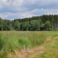
Torfau
878 m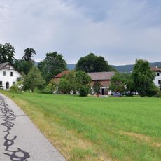
Obermühle
913 m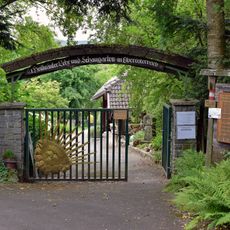
Heilkräutergarten Klaffer am Hochficht
11 m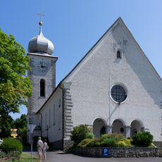
Mary Assumption parish church
147 m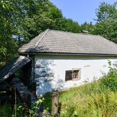
Berdetschläger Mühle
1.2 km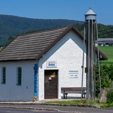
Wassermuseum
305 m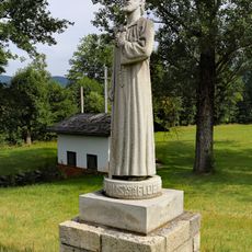
Nicholas of Flüe statue
822 m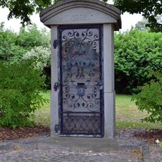
Heimatvertriebenendenkmal
165 m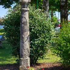
Bildstock
162 m
Pechölstein
77 m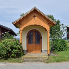
Salnau Chapel
1.2 km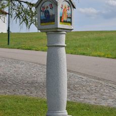
Bildstock Wenibergstraße
857 m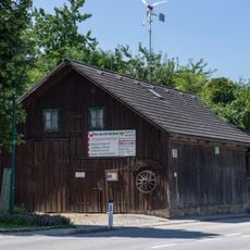
Wagnereimuseum
446 m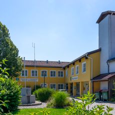
Gemeindeamt Klaffer am Hochficht
359 m
Heimatstube der vertriebenen Böhmerwäldler
436 m
Wayside cross
471 m
Statue, Work of art
823 m
Wayside cross
506 m
Wayside shrine
858 m
Wayside shrine
428 m
Wayside cross
886 m
Wayside cross
379 m
Wayside cross
360 m
Wayside cross
1.2 km
Memorial, war memorial
246 m
Wayside cross
1.3 km
Wayside cross
1.3 km
Wayside cross
1.4 kmReviews
Visited this place? Tap the stars to rate it and share your experience / photos with the community! Try now! You can cancel it anytime.
Discover hidden gems everywhere you go!
From secret cafés to breathtaking viewpoints, skip the crowded tourist spots and find places that match your style. Our app makes it easy with voice search, smart filtering, route optimization, and insider tips from travelers worldwide. Download now for the complete mobile experience.

A unique approach to discovering new places❞
— Le Figaro
All the places worth exploring❞
— France Info
A tailor-made excursion in just a few clicks❞
— 20 Minutes