9/2D - Historický hraniční znak
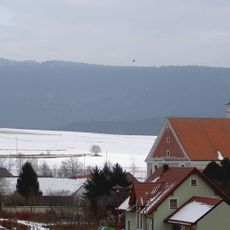
Location: Bad Neualbenreuth
GPS coordinates: 49.96879,12.49365
Latest update: November 21, 2025 05:24
Tillenberg
678 m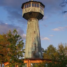
Grenzlandturm
2.7 km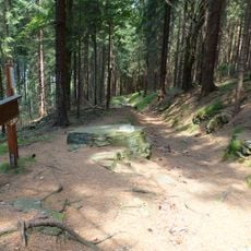
Königsstein
15 m
Grenzlandturm
2.7 km
Ortskapelle
2.7 km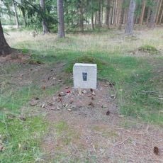
Pomníček Antonína Netáhla u Liščí farmy pod Dylení
2.1 km
Schuppen Altmugl 10 in Bad Neualbenreuth
2.7 km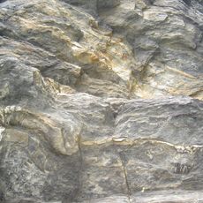
Felsen am Lerchenbühl NE von Neualbenreuth
2.3 km
Scheune Turmstraße 46 in Bad Neualbenreuth
3 km
Remise Turmstraße 48 in Bad Neualbenreuth
3 km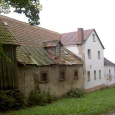
Neualbenreuth Turmstraße 46 und 48
3 km
Scheune Tirschenreuther Straße 19 in Bad Neualbenreuth
3.1 km
Austragshaus Turmstraße 46 in Bad Neualbenreuth
3 km
Wohnstallhaus eines Vierseithofes
3.1 km
Hoftor Turmstraße 48 in Bad Neualbenreuth
3 km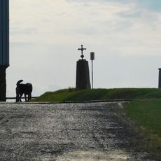
Kříž na vrcholu Dyleně
664 m
Wohnstallhaus eines Vierseithofes
2.7 km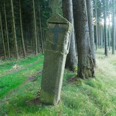
Kaplička zaniklé křížové cesty západně od Vysoké
2.9 km
Scenic viewpoint
560 m
Wiktorsthal
2.9 km
Scenic viewpoint
2.8 km
Blickpunkt Altmugl
2.7 km
Blickpunkt Streuobstwiese
2.1 km
Zaniklý hostinec Waldhäusel
2.6 km
Bench, memorial, commemorative plaque
2.3 km
Wayside cross, Christianity
2.9 km
Memorial stone, memorial
2.9 km
Memorial stone, memorial
2.8 kmReviews
Visited this place? Tap the stars to rate it and share your experience / photos with the community! Try now! You can cancel it anytime.
Discover hidden gems everywhere you go!
From secret cafés to breathtaking viewpoints, skip the crowded tourist spots and find places that match your style. Our app makes it easy with voice search, smart filtering, route optimization, and insider tips from travelers worldwide. Download now for the complete mobile experience.

A unique approach to discovering new places❞
— Le Figaro
All the places worth exploring❞
— France Info
A tailor-made excursion in just a few clicks❞
— 20 Minutes