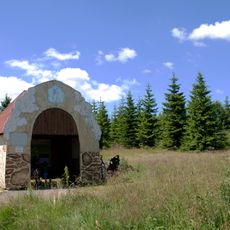
Replika historického žentouru dolu Johannes
Location: Boží Dar
Accessibility: Nicht rollstuhlgerecht
GPS coordinates: 50.43582,12.86776
Latest update: November 21, 2025 05:07
Ježíškova cesta
2.9 km
Krušnohorské plató
2.9 km
Přírodní park Zlatý kopec
1.7 km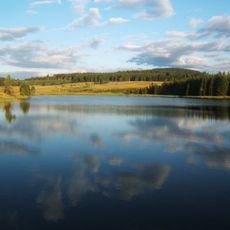
Myslivny Reservoir
2.5 km
Zweibach
2.9 km
Dreiberg
2.4 km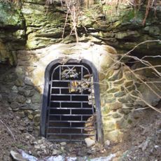
Rudný důl – skarnový revír Zlatý kopec
140 m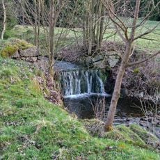
Rudný důl – revír Hrazený potok – Zlatý kopec
1.7 km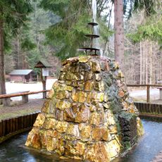
Wettinbrunnen
2.9 km
Kaffenberg
1.2 km
Wohnhaus, ehemaliges Forstarbeiterwohnhaus Oberwiesenthaler Straße 5
1 km
Ehemaliges Forsthaus, heute Wohnhaus Am Grenzhang 4
1.6 km
Ehemaliges Zollbeamtenwohnhaus Oberwiesenthaler Straße 3a; 3b
1.4 km
Ehemaliges Zollbeamtenwohnhaus Oberwiesenthaler Straße 4a; 4b
1.4 km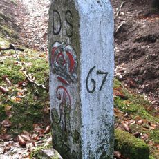
Zwei Grenzsteine (Nr. 8 und 9)
1.7 km
Zweibach
2.9 km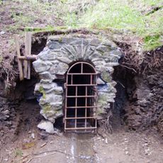
Johannes Mine
397 m
Work of art
2.9 km
Korenarka
2.9 km
Marcebila
3 km
Work of art
2.9 km
Work of art
2.8 km
Work of art
2.8 km
Work of art
2.8 km
Work of art
3 km
Scenic viewpoint
1.5 km
Scenic viewpoint
2.6 km
Wettinbrunnen
3 kmReviews
Visited this place? Tap the stars to rate it and share your experience / photos with the community! Try now! You can cancel it anytime.
Discover hidden gems everywhere you go!
From secret cafés to breathtaking viewpoints, skip the crowded tourist spots and find places that match your style. Our app makes it easy with voice search, smart filtering, route optimization, and insider tips from travelers worldwide. Download now for the complete mobile experience.

A unique approach to discovering new places❞
— Le Figaro
All the places worth exploring❞
— France Info
A tailor-made excursion in just a few clicks❞
— 20 Minutes