
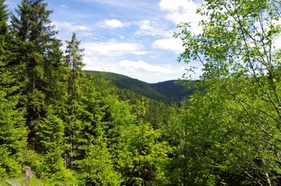
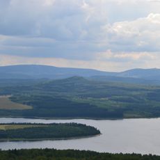
Přírodní park Zlatý kopec
Location: Karlovy Vary District
Inception: 1995
GPS coordinates: 50.43800,12.84410
Latest update: March 2, 2025 23:29
Ore Mountain Mining Region
3.5 km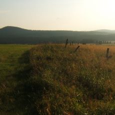
Božídarský Špičák
5.2 km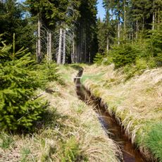
Blatenský vodní příkop
5 km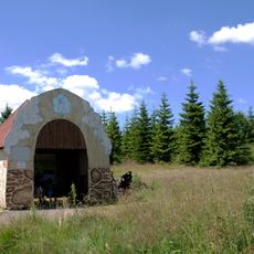
Ježíškova cesta
4.5 km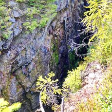
Zuzana mine
4.7 km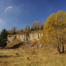
Ryžovna
4.6 km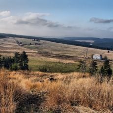
Hornická kulturní krajina Abertamy – Horní Blatná – Boží Dar
3 km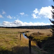
Krušnohorské plató
2.7 km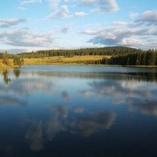
Myslivny Reservoir
3.4 km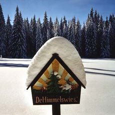
Himmelswiese
3.6 km
Ochsenkopf bei Rittersgrün
5.2 km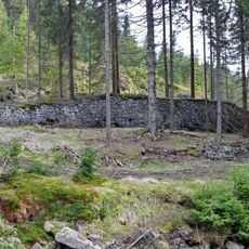
Kobaltový mlýn
4.6 km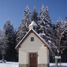
Chapel of Saint John of Nepomuk
3 km
Böhmische Mühle
2.8 km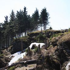
Am Taufichtig
5.3 km
Most silnice III/2196 přes Černou pod vodárenskou nádrží Myslivny
3.1 km
Fritzschhennerhöhle
5.1 km
Halbmeiler Wiesen
2.5 km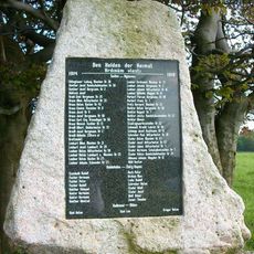
World War I memorial in Ryžovna
4 km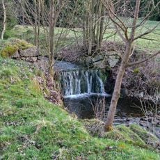
Rudný důl – revír Hrazený potok – Zlatý kopec
261 m
Rudný důl – skarnový revír Zlatý kopec
1.6 km
Wettinbrunnen
2.2 km
Bahnhof Oberrittersgrün
5 km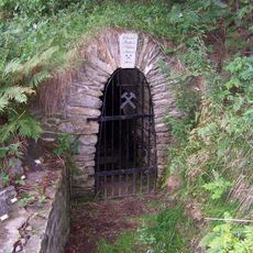
Mundloch des Oberer-Rother-Adler-Stollns
4.4 km
Zwei aneinander gebaute Wohnhäuser Kirchstraße 10; 11
5.1 km
Gedenkstein für Opfer des Faschismus Halbemeiler Weg -
3.4 km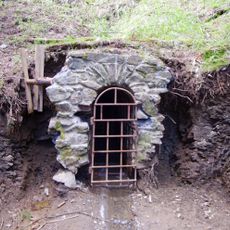
Johannes Mine
2 km
Zwei Grenzsteine (Nr. 8 und 9)
1.1 kmVisited this place? Tap the stars to rate it and share your experience / photos with the community! Try now! You can cancel it anytime.
Discover hidden gems everywhere you go!
From secret cafés to breathtaking viewpoints, skip the crowded tourist spots and find places that match your style. Our app makes it easy with voice search, smart filtering, route optimization, and insider tips from travelers worldwide. Download now for the complete mobile experience.

A unique approach to discovering new places❞
— Le Figaro
All the places worth exploring❞
— France Info
A tailor-made excursion in just a few clicks❞
— 20 Minutes