Enable Location

We need your location to show you interesting places around you

Discover nearby places

Find interesting locations and hidden gems around you

Precise directions

Get accurate directions and distances to places

Your location is never shared with other users. It's only used when you tap the location button.

Blatenský vodní příkop

Log in to your account

Start exploring — it's free

Trusted by 61,460 travelers worldwide

Continue with Google
Continue with Apple
or

We will send you a code to connect

By continuing, you accept our Terms and Conditions and our Privacy Policy

Check your inbox

We've sent a pincode in your inbox. Please enter the code below.

Blatenský vodní příkop, Historical water canal in Krušné Mountains, Czech Republic

Description

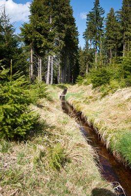
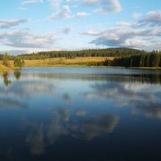
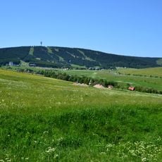
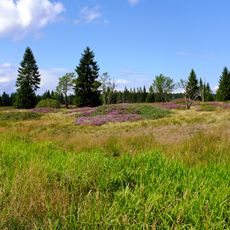
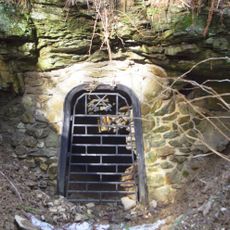
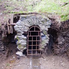
Blatenský vodní příkop is an artificial water channel carved through the rolling terrain of the Krušné Mountains to connect mining districts with water sources. The structure consists of carefully engineered canal beds and embankments that guide water across the landscape while maintaining consistent slope.

History

Engineer Stephan Lenk built the channel between 1540 and 1544 to supply water power for tin mining throughout the surrounding region. This 16th-century construction proved to be a pivotal advancement that powered the area's economic prosperity.

Culture

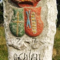
The canal stands as a visible link between the scattered communities that depended on its water flow for survival and work. Locals and visitors alike see it as a thread connecting the region's mountain settlements through shared industrial heritage.

Practical

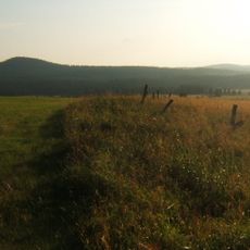
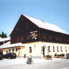
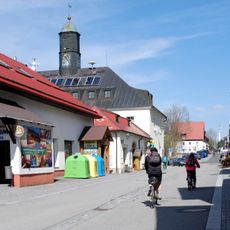
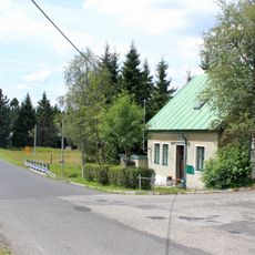
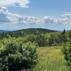
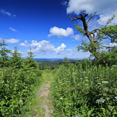
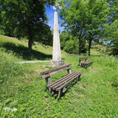
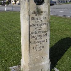
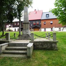
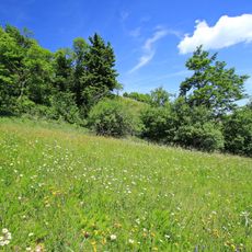
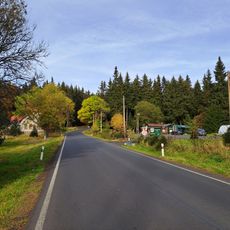
The site is accessible via a marked walking path with multiple information boards explaining the channel and its history. The best time to visit is during warmer months when forest trails are easier to walk and the surroundings feel pleasant.

Did you know?

What makes this channel remarkable is its precisely engineered slope of one meter drop per hundred meters sustained throughout its entire length. This technical achievement allowed water to travel long distances without losing power needed to drive the mining equipment.

Location
Location
Location
GPS coordinates
50.41278,12.90201
Latest update
December 12, 2025 16:41

AroundUs brings together thousands of curated places, local tips, and hidden gems, enriched daily by 60,000 contributors worldwide. Discover all places nearby (Boží Dar).

« Blatenský vodní příkop - Historical water canal in Krušné Mountains, Czech Republic » is provided by Around Us (aroundus.com). Images and texts are derived from Wikimedia project under a Creative Commons license. You are allowed to copy, distribute, and modify copies of this page, under the conditions set by the license, as long as this note is clearly visible.

Discover hidden gems everywhere you go!

From secret cafés to breathtaking viewpoints, skip the crowded tourist spots and find places that match your style. Our app makes it easy with voice search, smart filtering, route optimization, and insider tips from travelers worldwide. Download now for the complete mobile experience.

Around Us App Screenshot

A unique approach to discovering new places

Le Figaro

All the places worth exploring

France Info

A tailor-made excursion in just a few clicks

20 Minutes

Around Us
Travel Guide & Maps
Download

Send to your phone

QR Code
1

Open the camera app on your mobile.

2

Point at the QR code with your camera. A notification will appear.

3

Tap the notification to open the link.