Krušnohorské plató, Special Area of Conservation in Sokolov and Karlovy Vary districts, Czech Republic.
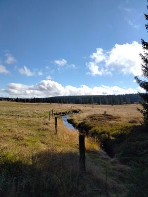
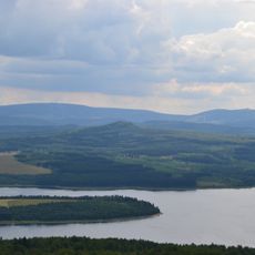
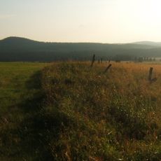
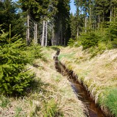
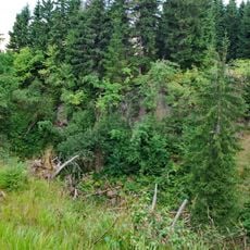
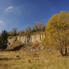
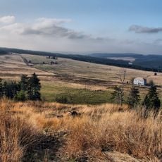
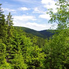
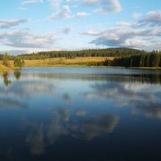
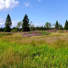
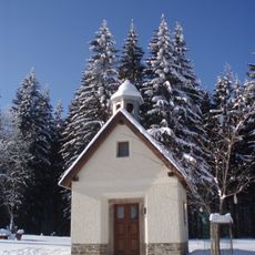
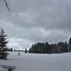
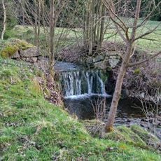
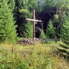
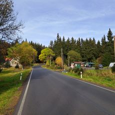
Krušnohorské plató is a conservation area spanning parts of the Sokolov and Karlovy Vary districts, stretching across elevated terrain. The landscape features peat bogs, forested sections, and open meadows that support diverse wildlife.
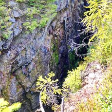
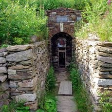
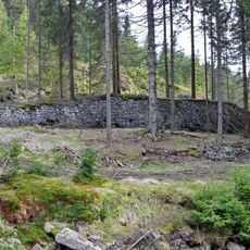
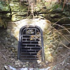
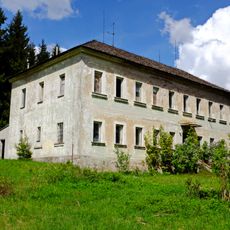
The region was historically shaped by peat mining, particularly around Pernink, which transformed the natural landscape. This extraction activity provided fuel and materials that supported local economic activity.
The conservation area maintains educational programs and community initiatives to promote environmental awareness and sustainable practices among local residents.
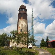
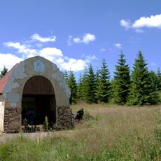
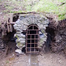
Visitors can explore the highlands through various hiking routes and paths marked across the area. It is advisable to wear sturdy footwear and bring weather-appropriate clothing, as conditions vary with the season.
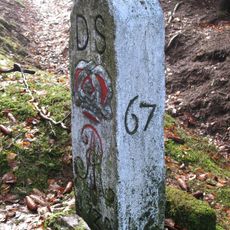
The northern border of the western section follows the state boundary from Bublavské meadows to the Jelení ridge above Nové Hamry. This border location makes the area interesting for those exploring landscapes across different countries.
Location: Sokolov District
Location: Karlovy Vary District
GPS coordinates: 50.41342,12.84589
Latest update: December 14, 2025 18:47
Ore Mountain Mining Region
982 m
Božídarský Špičák
3.4 km
Blatenský vrch
4.8 km
Blatenský vodní příkop
4 km
Ježíškova cesta
3.8 km
Červená jáma
3.1 km
Zuzana mine
3.6 km
Mauritius
3.1 km
Ryžovna
2 km
Hornická kulturní krajina Abertamy – Horní Blatná – Boží Dar
750 m
Přírodní park Zlatý kopec
2.7 km
Myslivny Reservoir
1.8 km
Kobaltový mlýn
4 km
Hornické minimuzeum Abertamy
4 km
Sejpy rudného dolu
4.3 km
Chapel of Saint John of Nepomuk
3.8 km
Most silnice III/2196 přes Černou pod vodárenskou nádrží Myslivny
1.6 km
Halbmeiler Wiesen
3.5 km
Rudný důl – skarnový revír Zlatý kopec
3 km
Rudný důl – revír Hrazený potok – Zlatý kopec
2.5 km
World War I memorial in Ryžovna
1.4 km
Wettinbrunnen
5 km
Kříž u dolního vstupu do dolu Mauritius v Hřebečné
3.2 km
Bývalá škola Hřebečná
3.3 km
Skautská mohyla v Jáchymově
4.9 km
Zwei Grenzsteine (Nr. 8 und 9)
3.7 km
Johannes Mine
2.8 km
Samota Cihelna
5 kmVisited this place? Tap the stars to rate it and share your experience / photos with the community! Try now! You can cancel it anytime.
Discover hidden gems everywhere you go!
From secret cafés to breathtaking viewpoints, skip the crowded tourist spots and find places that match your style. Our app makes it easy with voice search, smart filtering, route optimization, and insider tips from travelers worldwide. Download now for the complete mobile experience.
A unique approach to discovering new places❞
— Le Figaro
All the places worth exploring❞
— France Info
A tailor-made excursion in just a few clicks❞
— 20 Minutes