Brána Pusteven
Location: Prostřední Bečva
GPS coordinates: 49.48668,18.26437
Latest update: November 15, 2025 06:44
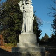
Radegast
938 m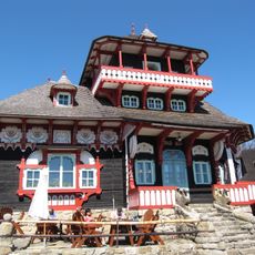
Libušín
341 m
Radegast
938 m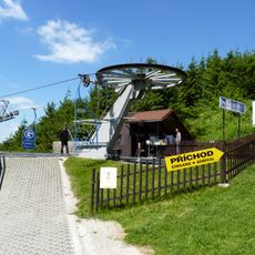
Sedačková lanovka Ráztoka - Pustevny
1.9 km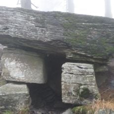
Čertův stůl
2.7 km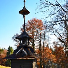
Small Bell Tower Pustevny
249 m
Skalka (Moravskoslezské Beskydy)
1.8 km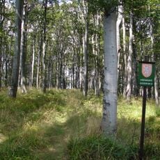
Noříčí
2.5 km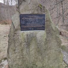
Memorial of Josef Konšel
2 km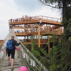
Stezka Valaška
780 m
Areál Pustevny
326 m
Skalíkova louka
1.6 km
Naučná stezka Radegast
1.3 km
Hotel Skalíkova louka
1.7 km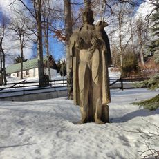
Pastýř (Stanislav Mikuláštík, Pustevny)
366 m
Scenic viewpoint
722 m
Rys ostrovid
517 m
Zajíc polní
471 m
Work of art, sculpture
1.9 km
Koloběžky Pustevny
360 m
Stezka Valaška
789 m
Scenic viewpoint
2.3 km
Josef Braun
2.7 km
Radhošťský kámen
1.6 km
Memorial
293 m
Štáb partyzánksé brigády M. R. Štefánika
310 m
Hášův háj
2.5 km
Wayside shrine
2.7 kmReviews
Visited this place? Tap the stars to rate it and share your experience / photos with the community! Try now! You can cancel it anytime.
Discover hidden gems everywhere you go!
From secret cafés to breathtaking viewpoints, skip the crowded tourist spots and find places that match your style. Our app makes it easy with voice search, smart filtering, route optimization, and insider tips from travelers worldwide. Download now for the complete mobile experience.

A unique approach to discovering new places❞
— Le Figaro
All the places worth exploring❞
— France Info
A tailor-made excursion in just a few clicks❞
— 20 Minutes