
Eyzerac - Labaurie
Location: Eyzerac
Operator: Association du Chemin de fer du Périgord Vert
GPS coordinates: 45.39137,0.90852
Latest update: September 27, 2025 15:21
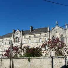
Couvent Saint-Paul, Thiviers
2.7 km
Château de Laxion
2.1 km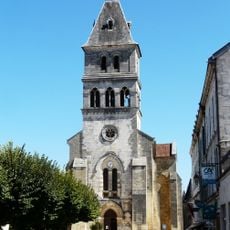
Église Notre-Dame-de-l’Assomption de Thiviers
2.8 km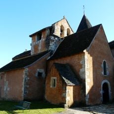
Église Saint-Georges de Saint-Jory-las-Bloux
5.4 km
Église Saint-Romain de Saint-Romain-et-Saint-Clément
5.2 km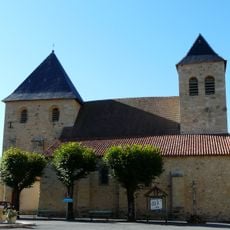
Église Saint-Étienne de Nantheuil
3.7 km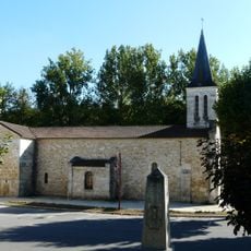
Église Saint-Martial d'Eyzerac
991 m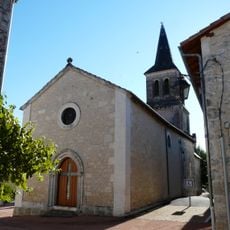
Église Saint-Maurice de Vaunac
4.6 km
Église Saint-Clément de Saint-Romain-et-Saint-Clément
3.9 km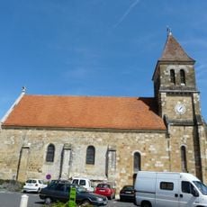
Église Saint-Front de Corgnac-sur-l'Isle
3.5 km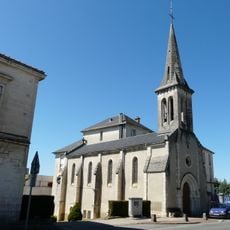
Chapelle de l'hôpital
2.6 km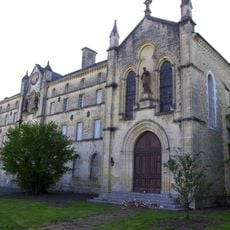
Chapelle Saint-Paul du couvent Saint-Paul de Thiviers
2.7 km
Chapelle de Négrondes
5.8 km
Mémorial de la Brigade R.A.C.
3.3 km
Vélorail du Périgord vert
4.6 km
Wayside cross, Christianity, Catholic church building
3.2 km
Work of art, bust
3.1 km
Scenic viewpoint
2.8 km
Corgnac-sur-l'Isle
4.2 km
Calvaire
4.2 km
Wayside cross, Christianity, Catholic church building
3.4 km
L'atelier
2.7 km
Scenic viewpoint
2.6 km
Wayside cross
2.4 km
Memorial
5.5 km
Catholic church building, wayside cross, Christianity
5.6 km
Christianity, Catholic church building, wayside cross
5.6 km
Le Moulin de Madame
5.6 kmReviews
Visited this place? Tap the stars to rate it and share your experience / photos with the community! Try now! You can cancel it anytime.
Discover hidden gems everywhere you go!
From secret cafés to breathtaking viewpoints, skip the crowded tourist spots and find places that match your style. Our app makes it easy with voice search, smart filtering, route optimization, and insider tips from travelers worldwide. Download now for the complete mobile experience.

A unique approach to discovering new places❞
— Le Figaro
All the places worth exploring❞
— France Info
A tailor-made excursion in just a few clicks❞
— 20 Minutes