Lavoir municipal
Location: Villers-Franqueux
GPS coordinates: 49.32716,3.94679
Latest update: November 27, 2025 11:11
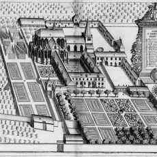
Abbaye Saint-Thierry du mont d'Hor
3 km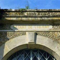
Réduit de Chenay
3 km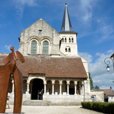
Église Saint-Sauveur d'Hermonville
2.9 km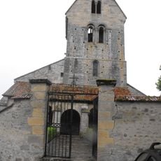
Église Saint-Hilaire
2.8 km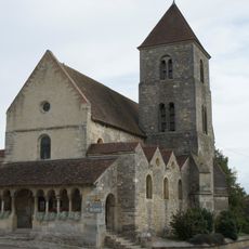
Église Notre-Dame de Cauroy-lès-Hermonville
2.9 km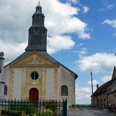
Église Saint-Gorgon de Pouillon
1.4 km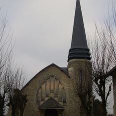
Église de Villers-Franqueux
283 m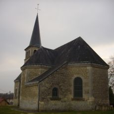
Église Saint-Rémi de Thil
1.7 km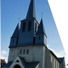
Église de Loivre
3.2 km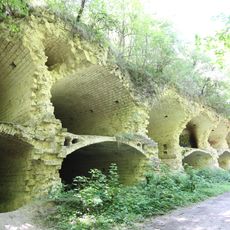
Fort Saint-Thierry
1.7 km
Église Sainte-Marie-Madeleine de Merfy
3.5 km
Orgue de tribune de l'église Saint-Sauveur d'Hermonville
2.9 km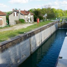
Écluse des Fontaines
3.5 km
Écluse de Loivre
3.4 km
Abbaye du Mont Dor
3 km
Carré militaire 1e Guerre mondiale
1.5 km
Monument aux morts
2.9 km
Memorial
2.8 km
Memorial
3.4 km
War memorial, memorial
1.5 km
Memorial, war memorial
3 km
Memorial, war memorial
3.2 km
Memorial
2.8 km
Wayside cross
2.4 km
Wayside cross
3.2 km
Memorial
3.3 km
Wayside cross
3.4 km
Catholic church building, wayside cross, Christianity
2.4 kmVisited this place? Tap the stars to rate it and share your experience / photos with the community! Try now! You can cancel it anytime.
Discover hidden gems everywhere you go!
From secret cafés to breathtaking viewpoints, skip the crowded tourist spots and find places that match your style. Our app makes it easy with voice search, smart filtering, route optimization, and insider tips from travelers worldwide. Download now for the complete mobile experience.

A unique approach to discovering new places❞
— Le Figaro
All the places worth exploring❞
— France Info
A tailor-made excursion in just a few clicks❞
— 20 Minutes