
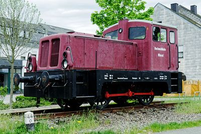
Hochwald Wiesel
Location: Reinsfeld
Website: https://www.flickr.com/photos/33766294@N03/22940735846
Website: https://flickr.com/photos/33766294@N03/22940735846
GPS coordinates: 49.67408,6.87744
Latest update: November 21, 2025 04:46
Bahnbetriebswerk Hermeskeil
4.3 km
Rösterkopf
3.2 km
Hohe Wurzel
3.5 km
Frau Holle
1.3 km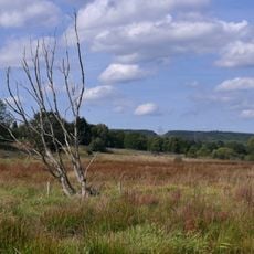
Osterbachtal bei Reinsfeld
302 m
Dampflokmuseum Hermeskeil
4.3 km
Gedenkstätte ehemaliges SS-Sonderlager/KZ Hinzert
3.8 km
Dankkreuz
1.7 km
Gedenktafel sowj. Opfer 1941
3.6 km
Sauscheider Kreuz
2.8 km
Gedenktafel Lux. Streik
3.4 km
Catholic church building, wayside cross, Christianity
554 m
Catholic church building, wayside cross, Christianity
840 m
Alter Marktplatz
109 m
Biberdamm
3.6 km
Wegekreuz am Zewenberg
603 m
Wayside cross, Christianity, Catholic church building
352 m
Hinkelstein von Beuren
4.3 km
Graue Eltz
3.1 km
Gedenktafel sowj. Gefangene
3.7 km
Marienstatue
4 km
Grab Lux. Streik
3.4 km
Denkmal Quarzitsteinbruch
2.9 km
Denkmal Gruben
2.1 km
Wrackteil BF110
4.3 km
Pfarrer Zick Kreuz
4.3 km
Catholic church building, wayside cross, Christianity
4.2 km
Wayside cross
3.9 kmReviews
Visited this place? Tap the stars to rate it and share your experience / photos with the community! Try now! You can cancel it anytime.
Discover hidden gems everywhere you go!
From secret cafés to breathtaking viewpoints, skip the crowded tourist spots and find places that match your style. Our app makes it easy with voice search, smart filtering, route optimization, and insider tips from travelers worldwide. Download now for the complete mobile experience.

A unique approach to discovering new places❞
— Le Figaro
All the places worth exploring❞
— France Info
A tailor-made excursion in just a few clicks❞
— 20 Minutes