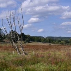
Rösterkopf, Mountain summit in Osburger Hochwald, Germany.
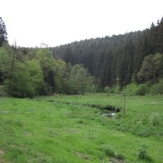
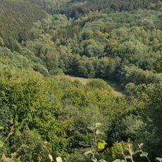
Rösterkopf is a mountain summit standing at 708 meters in the Hunsrück region, surrounded by dense forests that blanket the plateau landscape. Multiple marked hiking routes branch out from the peak, allowing visitors to explore the surrounding terrain at varying levels of difficulty.
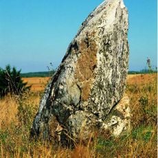
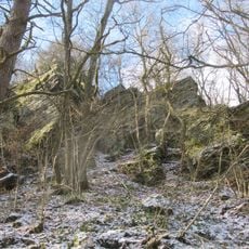
The geological formation developed roughly 350 million years ago from quartz deposits laid down in an ancient Devonian sea. This quartzite composition distinguishes the summit from the slate mountains surrounding it, shaping the landscape visible today.
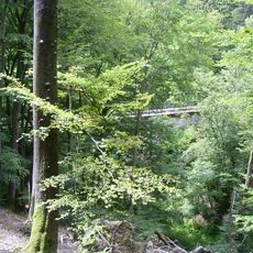
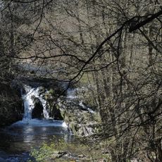
The Rösterkopf-Rundwanderweg, marked RR, is a 10.4 km loop around the summit; its entry point is the hikers' car park on Kreisstraße 75, the road from Kell am See to Landesstraße 146. The route also passes Ruwerspring, the spring area where the Ruwer rises, and the Knüppeldamm, a log causeway over the Weyrichsbruch bog.
The marked Rösterkopf circular trail (RR) is 10.4 km long and starts at the hiking car park on the K75, the road from Kell am See to the L146. The route passes the Ruwerspring spring area and the Knüppeldamm boardwalk over the Weyrichsbruch. The summit itself lies on the L146 between Holzerath and Reinsfeld.
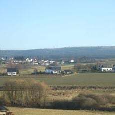
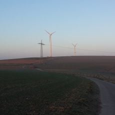
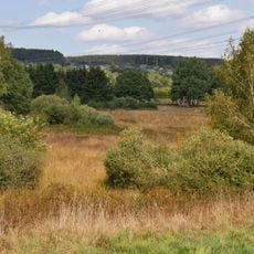
A small transmitting station sits at the summit, visible as a practical landmark from a distance. This high vantage point offers wide views across the region's agricultural landscape, making it a natural lookout spot.
The community of curious travelers
AroundUs brings together thousands of curated places, local tips, and hidden gems, enriched daily by 93,755 contributors worldwide.