Barfußpfad Maikammer
Location: Sankt Martin
Website: http://www.barfusspark.info/laender/d/rlp/maikammer/maikammer_plan.jpg
Website: http://barfusspark.info/laender/d/rlp/maikammer/maikammer_plan.jpg
GPS coordinates: 49.30638,8.06456
Latest update: October 11, 2024 03:46
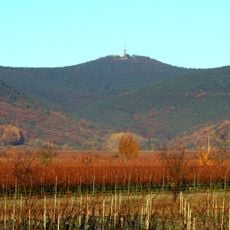
Kalmit
1.9 km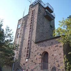
Kalmit Observation Tower
1.9 km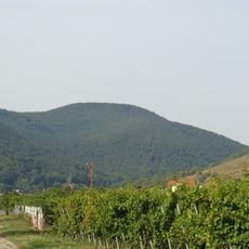
Hochberg
983 m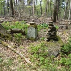
Schafkopf
1.3 km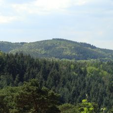
Rothsohlberg
1.6 km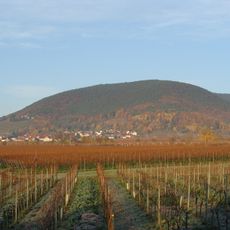
Breitenberg
1.9 km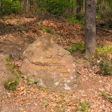
Ritterstein 239 "Huettenhohl Ruine Alte Huette"
1.3 km
Schraußen Berg
1.7 km
Scenic viewpoint
1.4 km
Scenic viewpoint
958 m
Ritterstein 235 "Huettenbrunnen"
1.4 km
Donnersberg Blick
1.4 km
Ritterstein 237 "Innungsstein"
1.4 km
Wayside shrine
1.2 km
Dichterhain
1.5 km
Frauenbrunnen Anlage
1.6 km
Felsenmeer
1.1 km
Waterfall
1.7 km
Memorial, stele
1.7 km
Scenic viewpoint
1.3 km
Wayside cross
1.7 km
Gefallenendenkmal PWV 1914
1.8 km
Jobs Blum
1.8 km
Wetterkreuz
1.8 km
Ritterstein 243 "Wetz-Brunnen"
711 m
Memorial, Obelisk
1.9 km
Scenic viewpoint
586 m
Weinbrunnen
333 mReviews
Visited this place? Tap the stars to rate it and share your experience / photos with the community! Try now! You can cancel it anytime.
Discover hidden gems everywhere you go!
From secret cafés to breathtaking viewpoints, skip the crowded tourist spots and find places that match your style. Our app makes it easy with voice search, smart filtering, route optimization, and insider tips from travelers worldwide. Download now for the complete mobile experience.

A unique approach to discovering new places❞
— Le Figaro
All the places worth exploring❞
— France Info
A tailor-made excursion in just a few clicks❞
— 20 Minutes