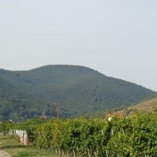
Kalmit, Mountain summit in Südliche Weinstraße, Germany
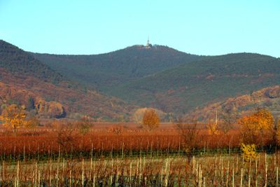
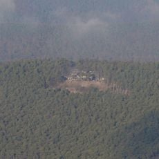
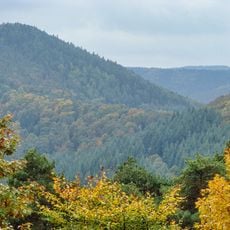
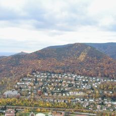
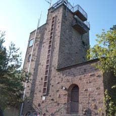
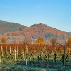
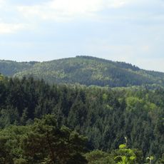
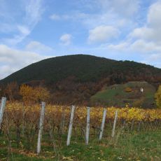
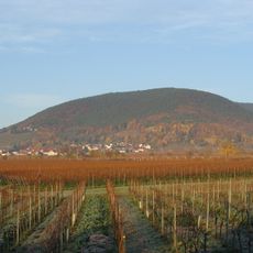
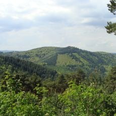
Kalmit reaches 673 meters and is the highest point in the Palatinate Forest, commanding views between the Upper Rhine Valley and the surrounding hills. The summit holds a mountain hut, radio relay station, and weather monitoring equipment that occupy the peak.
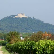
The summit has functioned as a signal station since Roman times, serving as a strategic communication point in the ancient landscape. Over centuries, its role evolved from military telegraph to modern broadcasting technology.
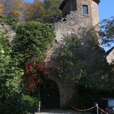
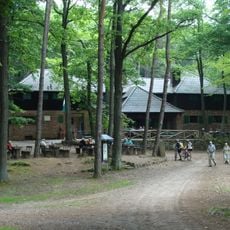
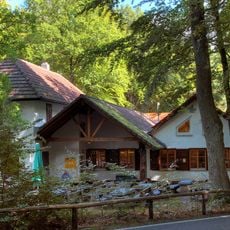
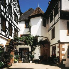
The Kalmithaus mountain hut, built in 1908, remains the social heart of the summit and brings visitors together for traditional meals. The refuge reflects a long-standing culture of mountain hospitality in the region.
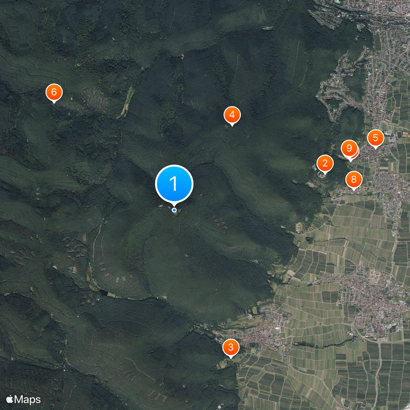
The summit is reachable by several hiking trails from Maikammer, with parking available about 250 meters northwest of the peak. The climb is suitable for most visitors, and the mountain hut offers a convenient place to rest.
From the summit terrace, visitors look out across the Rhine Plain and can see the slopes of the Bergstraße and beyond to the Black Forest on clear days. This wide view connects four distinct landscape regions in a single perspective.
The community of curious travelers
AroundUs brings together thousands of curated places, local tips, and hidden gems, enriched daily by 60,000 contributors worldwide.