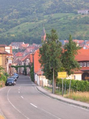
Sankt Martin, municipality of Germany
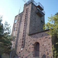
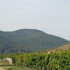
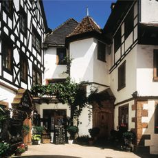
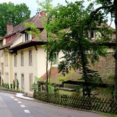
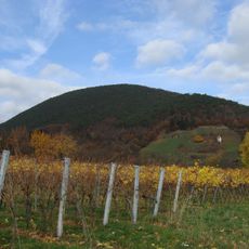
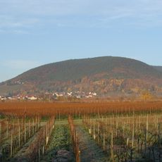
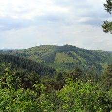
Sankt Martin is a municipality in Rhineland-Palatinate in southwestern Germany. The town sits in a hilly wine-growing region and consists of several small settlements spread across the municipal area.
The municipality developed through historical agricultural and wine-making processes in the region. Over time, the settlements evolved and today form part of the modern administrative structure of Rhineland-Palatinate.
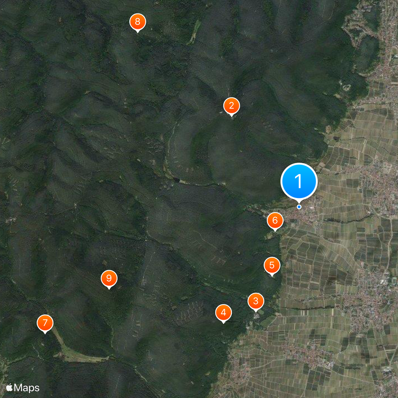
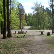
The municipality is connected to the regional transport network and can be reached by car or public transport. Visitors should be aware that this is a rural municipal area with scattered settlements, so advance planning is recommended when exploring.
The community of curious travelers
AroundUs brings together thousands of curated places, local tips, and hidden gems, enriched daily by 60,000 contributors worldwide.