Unterstand
Location: Neu-Vehlefanz
Location: Oberkrämer
GPS coordinates: 52.69813,13.05191
Latest update: October 11, 2024 03:47

Schloss Schwante
4.3 km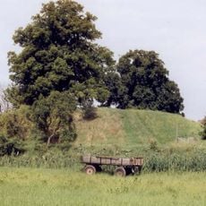
Burg Vehlefanz
3.8 km
Botscheberg
3.6 km
Village church Vehlefanz
3.9 km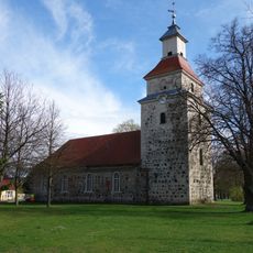
Village church Eichstädt
4 km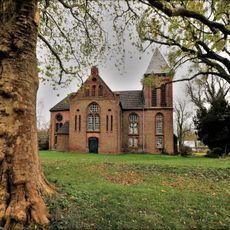
Dorfkirche Groß-Ziethen
4 km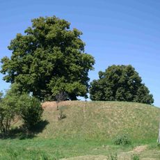
Botscheberg
3.6 km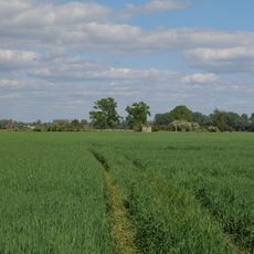
Rhin-Havelluch
4.2 km
Naturdenkmal Kastanie
3.9 km
Naturdenkmal Gruppe von 6 Linden
3.8 km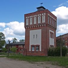
Wasserturm Schwante
3.8 km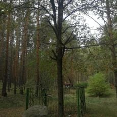
Naturdenkmal Reckins Eiche ca. 1 km NW vom Krämerpfuhl in Falkenhagen (Forst)
2.5 km
Naturdenkmal Reckins Grab ca. 1 km NW vom Krämerpfuhl in Falkenhagen (Forst)
2.7 km
Wasserturm Schwante
3.8 km
Hochsitz
126 m
Amtshaus (altes Schloss) Vehlefanz
3.7 km
Altes Amtshaus
3.8 km
Gustav-Büchsenschütz-Denkmal
1.2 km
Fledermaus Pension
160 m
Aussicht auf dem Weinberg
3.4 km
Reckins Grab
2.7 km
Gut Schwante
3.8 km
Kriegsdenkmal 1. und 2. Weltkrieg
3.9 km
Waldbühne
123 m
Lesesteinhaufen
111 m
Klanghölzer
88 m
Arboretum
61 m
Tastpfad
45 mReviews
Visited this place? Tap the stars to rate it and share your experience / photos with the community! Try now! You can cancel it anytime.
Discover hidden gems everywhere you go!
From secret cafés to breathtaking viewpoints, skip the crowded tourist spots and find places that match your style. Our app makes it easy with voice search, smart filtering, route optimization, and insider tips from travelers worldwide. Download now for the complete mobile experience.

A unique approach to discovering new places❞
— Le Figaro
All the places worth exploring❞
— France Info
A tailor-made excursion in just a few clicks❞
— 20 Minutes