Enable Location

We need your location to show you interesting places around you

Discover nearby places

Find interesting locations and hidden gems around you

Precise directions

Get accurate directions and distances to places

Your location is never shared with other users. It's only used when you tap the location button.

Oberkrämer

Log in to your account

Start exploring — it's free

Trusted by 64,850 travelers worldwide

Continue with Google
Continue with Apple
or

We will send you a code to connect

By continuing, you accept our Terms and Conditions and our Privacy Policy

Check your inbox

We've sent a pincode in your inbox. Please enter the code below.

Discussion Reviews 1 Photos
15.7k Popularity

Oberkrämer, municipality in Brandenburg state, Germany

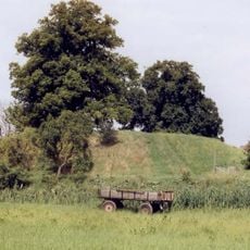
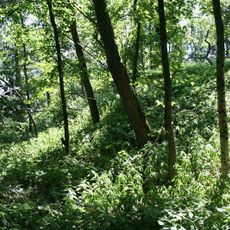
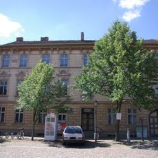
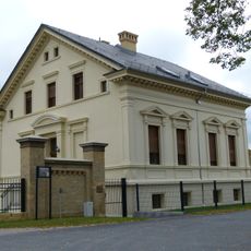
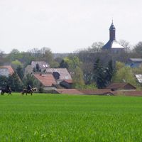
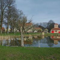
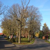
Oberkrämer is a small municipality in the Oberhavel district of Brandenburg with open fields and few tall buildings. The area consists of several merged villages connected by quiet streets and defined by forests, small lakes, and meadows.

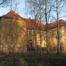
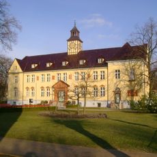
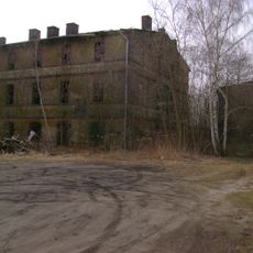
The area had small communities for a long time that lived from farming and local trade. In the 20th century, several villages were merged into one municipality to better organize administration and services.

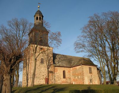
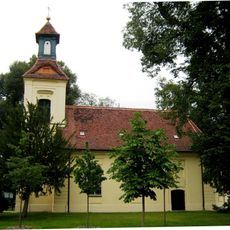
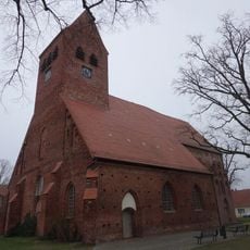
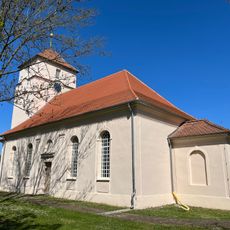
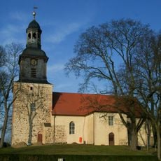
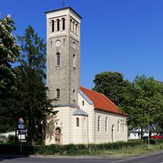
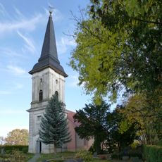
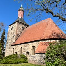
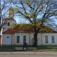
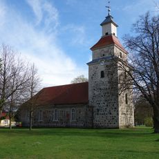
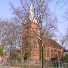
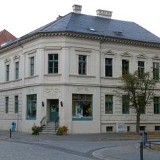
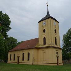
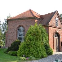
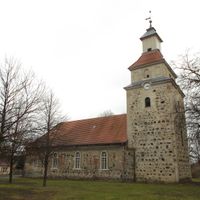
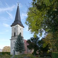
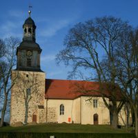
The villages here have their own churches and gathering places where neighbors know each other and meet regularly. Seasonal festivals and harvest celebrations bring people together, and residents enjoy sharing homemade goods and local stories.

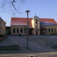
The area is best explored by car or bicycle, with well-maintained paths for walking and cycling available throughout. The municipality has small shops and postal services, but for larger purchases and more facilities, nearby towns or Berlin should be visited.

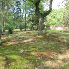
During World War II, the region operated an experimental farm with wind turbines on a nearby mountain as part of early efforts to explore renewable energy sources. This historical project shows how innovative the area was even then.

The community of curious travelers

AroundUs brings together thousands of curated places, local tips, and hidden gems, enriched daily by 60,000 contributors worldwide.

Start exploring
Elevation above the sea
54 m
Shares border with
Kremmen, Hennigsdorf, Velten, Oranienburg, Schönwalde-Glien, Nauen
GPS coordinates
52.70000,13.10000
Latest update
February 19, 2026 23:20
Reviews
Share your experience

No review yet

Discussions
Start a discussion...

No discussion yet

« Oberkrämer - municipality in Brandenburg state, Germany » is provided by Around Us (aroundus.com). Images and texts are derived from Wikimedia project under a Creative Commons license. You are allowed to copy, distribute, and modify copies of this page, under the conditions set by the license, as long as this note is clearly visible.

Discover hidden gems everywhere you go!

From secret cafés to breathtaking viewpoints, skip the crowded tourist spots and find places that match your style. Our app makes it easy with voice search, smart filtering, route optimization, and insider tips from travelers worldwide. Download now for the complete mobile experience.

Around Us App Screenshot

A unique approach to discovering new places

Le Figaro

All the places worth exploring

France Info

A tailor-made excursion in just a few clicks

20 Minutes

Around Us
Travel Guide & Maps
Download

Send to your phone

QR Code
1

Open the camera app on your mobile.

2

Point at the QR code with your camera. A notification will appear.

3

Tap the notification to open the link.