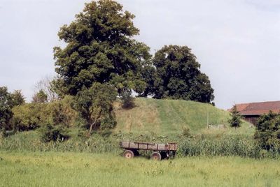
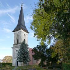
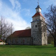
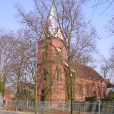
Burg Vehlefanz, Medieval castle ruins in Vehlefanz, Germany
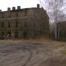
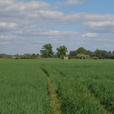
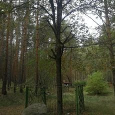
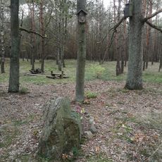
Burg Vehlefanz is a castle ruin in Vehlefanz featuring a brick tower and wall sections surrounded by an artificial mound with water-filled defenses. The earthwork structure creates a distinctive raised platform in the otherwise flat landscape of the region.
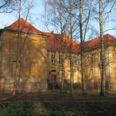
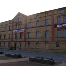
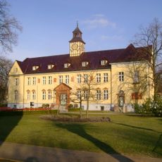
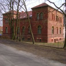
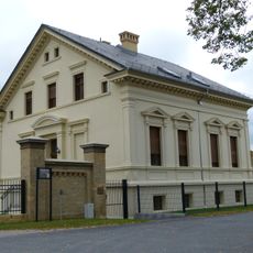
The castle was built in the 14th century as a residence for knights and shaped regional defense for several centuries. In 1786 the original structure was demolished to make way for an administrative building, fundamentally changing the site's purpose.
The name Vehlefanz comes from Slavic words meaning 'large' and 'beard', reflecting the linguistic heritage of the people who inhabited this region long before the fortress was built. This naming reveals how local speech patterns connected to the landscape and its features.
The site is easily accessible and walkable, with the ruins open and visitable at any time. The elevated mound offers good views across the surrounding area and visits are best enjoyed during dry weather.
The site served as a temporary headquarters for Napoleon in 1812, revealing an unexpected connection to major European events of the era. This episode shows how even small regional locations could become entangled in the most significant historical moments.
The community of curious travelers
AroundUs brings together thousands of curated places, local tips, and hidden gems, enriched daily by 60,000 contributors worldwide.