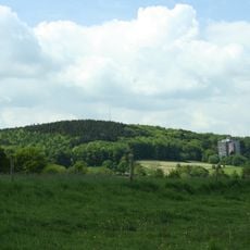
Lauschinsel
Location: Laurensberg
Location: Aachen
GPS coordinates: 50.75794,6.02340
Latest update: October 11, 2024 03:56
Vaalserberg
519 m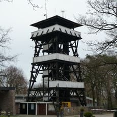
Wilhelminatoren
619 m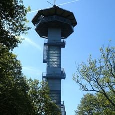
King Baudouin Tower
461 m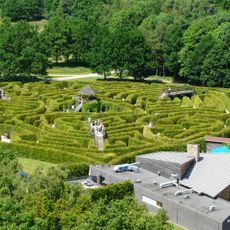
Labyrint Drielandenpunt
437 m
Tumulus Vaalserberg
313 m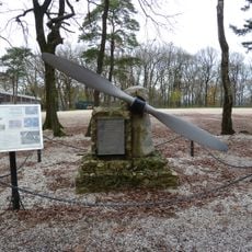
Vliegermonument
569 m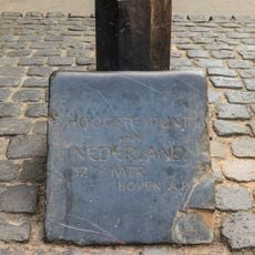
Highest point of the Netherlands
406 m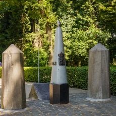
Belgium-Netherlands boundary stone no. 1
406 m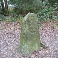
Boundary stone with eagle
556 m
Scenic viewpoint
533 m
König Baudoin Turm
460 m
Hoogste Punt van Nederland
406 m
Wayside cross
391 m
Scenic viewpoint
432 m
Via Dolorosa
526 m
Des Contrebandiers dans la Forêt
528 m
Wayside cross
457 m
Pierre Roiseux
537 m
6th Fusilier Batallion
538 m
Border tripoint
440 m
Tower
478 m
Scenic viewpoint
574 m
Frontalier
584 m
Une Vue du Sol
613 m
Blick auf 2 Länder
617 m
Scenic viewpoint
617 m
Scenic viewpoint
370 m
Expérience pour les Pieds
626 mReviews
Visited this place? Tap the stars to rate it and share your experience / photos with the community! Try now! You can cancel it anytime.
Discover hidden gems everywhere you go!
From secret cafés to breathtaking viewpoints, skip the crowded tourist spots and find places that match your style. Our app makes it easy with voice search, smart filtering, route optimization, and insider tips from travelers worldwide. Download now for the complete mobile experience.

A unique approach to discovering new places❞
— Le Figaro
All the places worth exploring❞
— France Info
A tailor-made excursion in just a few clicks❞
— 20 Minutes