Enable Location

We need your location to show you interesting places around you

Discover nearby places

Find interesting locations and hidden gems around you

Precise directions

Get accurate directions and distances to places

Your location is never shared with other users. It's only used when you tap the location button.

Vaalserberg

Log in to your account

Join the adventure

Create your free account and start exploring (like 60k+ others)

We will send you a code to connect

or
Continue with Google
Continue with Apple
By continuing, you accept our Terms and Conditions and our Privacy Policy

Check your inbox

We've sent a pincode in your inbox. Please enter the code below.

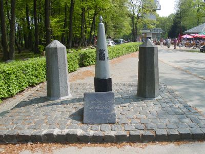
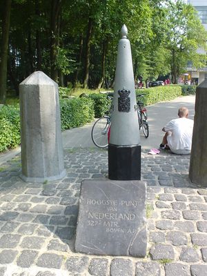
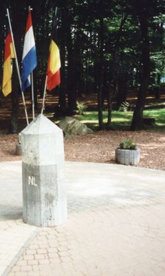
Vaalserberg, Summit and tripoint at Vaals, Netherlands

Description

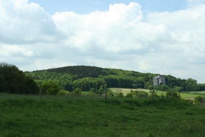
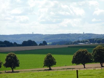
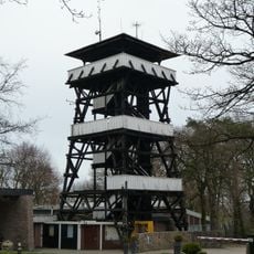
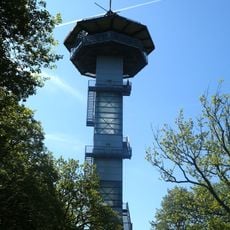
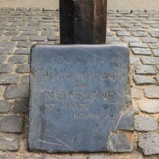
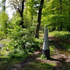
The summit rises to 322 meters above sea level, forming the highest point on the Dutch mainland near the borders with Germany and Belgium. Marker stones and panels show the exact line where the three territories meet, while paths from all sides lead to the top.

History

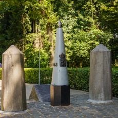
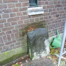
Between 1830 and 1919, this site formed a four-country meeting point that included the neutral territory of Moresnet alongside the Netherlands, Belgium, and Germany. After World War I, the neutral area was assigned to Belgium and the junction became a tripoint.

Culture

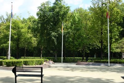
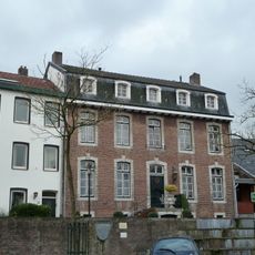
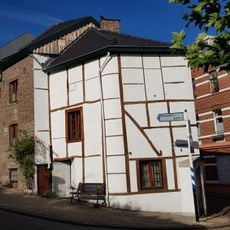
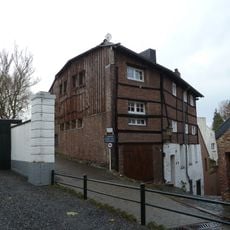
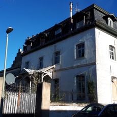
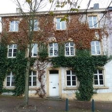
The name combines the Dutch village Vaals with the word for mountain, reflecting a border zone that has linked three countries for centuries. Visitors today see clearly different architectural styles and signage on each side as they walk between nations.

Practical

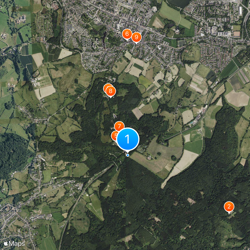
A large parking area at the base connects to paved roads leading from each country with different names. The short paths to the summit are suitable for wheelchairs and strollers, and benches along the route offer places to rest.

Did you know?

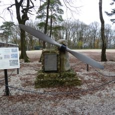
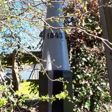
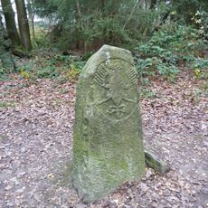
A maze of border stones and metal plaques documents the complex history of shifting territories that once united four nations at one point. Visitors can stand in three countries at once by placing their feet on the marked lines.

Location
Location
Location
Location
Elevation above the sea
322 m
Part of
Belgium–Germany border, Belgium–Netherlands border, Germany–Netherlands border
GPS coordinates
50.75348,6.02125
Latest update
December 13, 2025 18:43

AroundUs brings together thousands of curated places, local tips, and hidden gems, enriched daily by 60,000 contributors worldwide. Discover all places nearby (Vaals).

« Vaalserberg - Summit and tripoint at Vaals, Netherlands » is provided by Around Us (aroundus.com). Images and texts are derived from Wikimedia project under a Creative Commons license. You are allowed to copy, distribute, and modify copies of this page, under the conditions set by the license, as long as this note is clearly visible.

Discover hidden gems everywhere you go!

From secret cafés to breathtaking viewpoints, skip the crowded tourist spots and find places that match your style. Our app makes it easy with voice search, smart filtering, route optimization, and insider tips from travelers worldwide. Download now for the complete mobile experience.

Around Us App Screenshot

A unique approach to discovering new places

Le Figaro

All the places worth exploring

France Info

A tailor-made excursion in just a few clicks

20 Minutes

Around Us
Travel Guide & Maps
Download

Send to your phone

QR Code
1

Open the camera app on your mobile.

2

Point at the QR code with your camera. A notification will appear.

3

Tap the notification to open the link.