Enable Location

We need your location to show you interesting places around you

Discover nearby places

Find interesting locations and hidden gems around you

Precise directions

Get accurate directions and distances to places

Your location is never shared with other users. It's only used when you tap the location button.

Vaals

Log in to your account

Start exploring — it's free

Trusted by 63,323 travelers worldwide

Continue with Google
Continue with Apple
or

We will send you a code to connect

By continuing, you accept our Terms and Conditions and our Privacy Policy

Check your inbox

We've sent a pincode in your inbox. Please enter the code below.

Discussion Reviews 2 Photos
20.5k Popularity

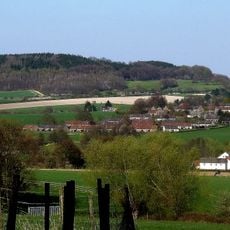
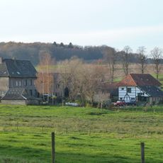
Vaals, municipality in the Netherlands

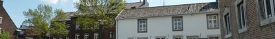
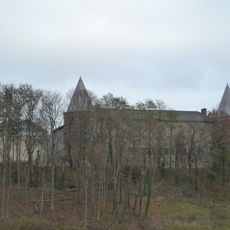
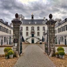
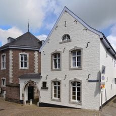
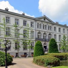
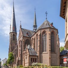
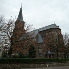
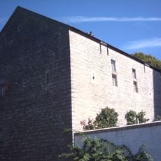
Vaals is a municipality in southern Limburg known for its rolling hills and green fields. The town center features 18th-century buildings left over from the wool and linen industry that once flourished here and gave the place its stately character.

Vaals developed from the 18th century as a significant place through the linen and wool industry, which brought considerable wealth to the region. Its strategic location at the borders with Germany and Belgium shaped its growth and made it an important trading point over the centuries.

The heart of Vaals is Von Clermontplein, where weekly markets bring together people from the Netherlands, Germany, and Belgium. These gatherings create a lively atmosphere that reflects how different cultures naturally meet in this border region.

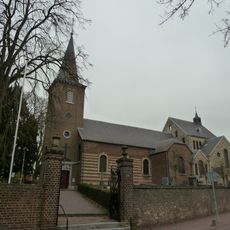
Most sights are reachable on foot or by bicycle since the center is compact and the terrain is hilly but walkable. A historical walking tour through the center takes about 4 kilometers and can be extended to 8 kilometers if you include the Drielandenpunt.

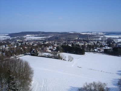
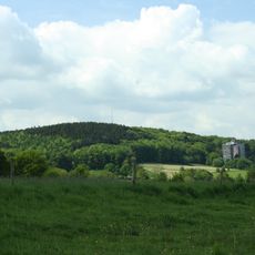
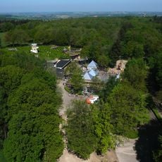
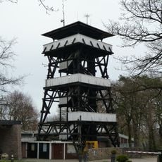
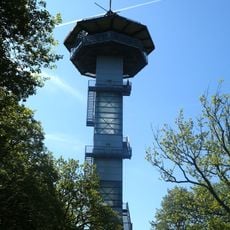
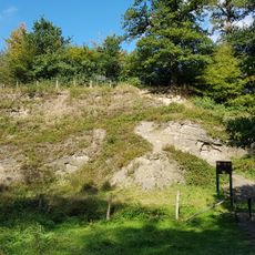
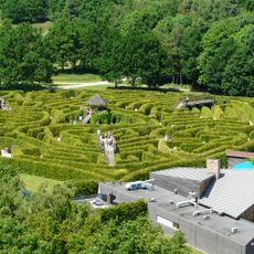
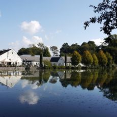
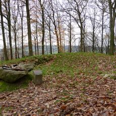
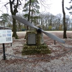
The Drielandenpunt sits atop Vaalserberg, which at 322.5 meters (1,059 feet) is the highest point in the Netherlands. This is where visitors can literally stand in three countries at once and explore the Vijlenerbos, a forest area that stretches at the foot of the mountain.

The community of curious travelers

AroundUs brings together thousands of curated places, local tips, and hidden gems, enriched daily by 60,000 contributors worldwide.

Start exploring
Location
Capital city
Vaals
Elevation above the sea
200 m
Shares border with
Aachen, Gulpen-Wittem, Kelmis
Phone
GPS coordinates
50.76944,6.01806
Latest update
February 16, 2026 21:42
Reviews
Share your experience

No review yet

Discussions
Start a discussion...

No discussion yet

« Vaals - municipality in the Netherlands » is provided by Around Us (aroundus.com). Images and texts are derived from Wikimedia project under a Creative Commons license. You are allowed to copy, distribute, and modify copies of this page, under the conditions set by the license, as long as this note is clearly visible.

Discover hidden gems everywhere you go!

From secret cafés to breathtaking viewpoints, skip the crowded tourist spots and find places that match your style. Our app makes it easy with voice search, smart filtering, route optimization, and insider tips from travelers worldwide. Download now for the complete mobile experience.

Around Us App Screenshot

A unique approach to discovering new places

Le Figaro

All the places worth exploring

France Info

A tailor-made excursion in just a few clicks

20 Minutes

Around Us
Travel Guide & Maps
Download

Send to your phone

QR Code
1

Open the camera app on your mobile.

2

Point at the QR code with your camera. A notification will appear.

3

Tap the notification to open the link.