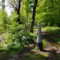
Drielandenpunt, International tripoint on the Vaalserberg, Vaals, Netherlands
Drielandenpunt sits at the summit of Vaalserberg and marks the exact spot where the borders of Belgium, Germany, and Netherlands meet. At this highest point of the region, the three national boundaries converge in a single geographical location.
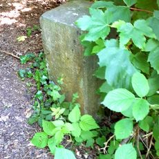
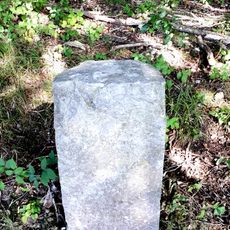
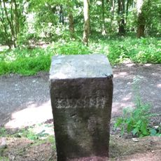
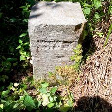
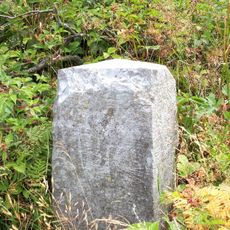
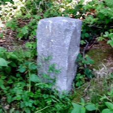
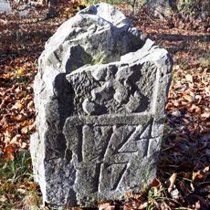
From 1839 to 1919 the borders of the Netherlands, Belgium, Prussia (later Germany) and the tiny state of Neutral Moresnet met here, making it a quadripoint. After the First World War, border corrections between Belgium and Germany annexed Moresnet to Belgium, and the four-border point became a tripoint. The oldest boundary stones in the woods date from around 1340 and bear the eagle of the Free Imperial City of Aachen.
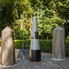
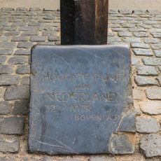
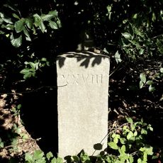
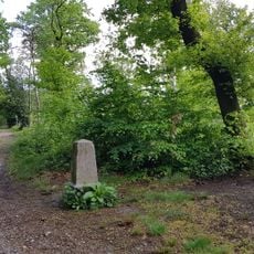
The symbolic tripoint opened in 1928 is a cluster of old boundary posts moved next to the 1896 stone reading "Hoogste punt van Nederland 322,5 mtr. boven A.P." Many visitors mistake it for the real tripoint, which lies about fifty metres away; two of its three posts once stood there. The Belgian post is a copy donated by the Vaals tourist office, replacing the lost Moresnet stone XXXI.
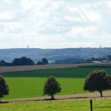
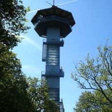
The real tripoint, marked by a 1926 border post, lies about fifty metres from the symbolic 1928 monument that most visitors photograph. Paths from Vaals and from Aachen lead up the Vaalserberg to the site, and the surrounding woods hold old smuggling routes. Two towers stand nearby: the Wilhelminatoren and the 50-metre Koning Boudewijntoren.
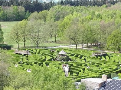
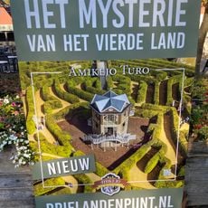
The maze laid out from 1992 is described in the sources as reportedly the largest in Europe, and it stands on Dutch soil. The 50-metre King Baudouin tower, completed in 1994, is the Belgian one; the Wilhelminatoren, delivered in 2011, is the third tower of that name and lies just under a kilometre north.
The community of curious travelers
AroundUs brings together thousands of curated places, local tips, and hidden gems, enriched daily by 93,697 contributors worldwide.