
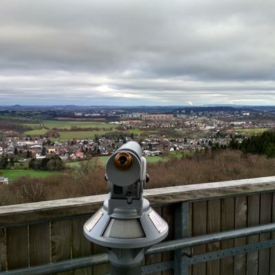
Scenic viewpoint
Location: Vaals
Website: https://photos.app.goo.gl/kJKUkCAppKoDX2XD8
Website: https://photos.app.goo.gl/kJKUkCAppKoDX2XD8
GPS coordinates: 50.76180,6.01712
Latest update: November 17, 2025 06:13
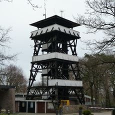
Wilhelminatoren
3 m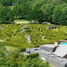
Labyrint Drielandenpunt
731 m
Tumulus Vaalserberg
601 m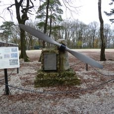
Vliegermonument
48 m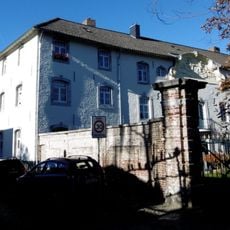
Haus im Bau
693 m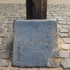
Highest point of the Netherlands
830 m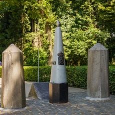
Belgium-Netherlands boundary stone no. 1
831 m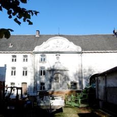
Cereshoeve
716 m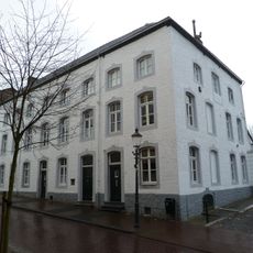
Tentstraat 9, Vaals
815 m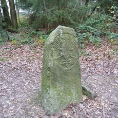
Boundary stone with eagle
113 m
Tentstraat 26, Vaals
776 m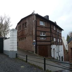
Tentstraat 7, Vaals
831 m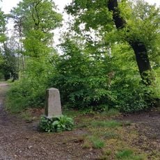
Belgium-Netherlands boundary stone no. 1a
793 m
Tentstraat 69, Vaals
692 m
Frontalier
123 m
Lauschinsel
617 m
Une Vue du Sol
253 m
Expérience pour les Pieds
249 m
La Classe Verte
172 m
Scenic viewpoint
309 m
Scenic viewpoint
395 m
Blick auf 2 Länder
330 m
Scenic viewpoint
445 m
Scenic viewpoint
567 m
Scenic viewpoint
361 m
Wayside cross
798 m
Wayside cross
521 m
Wayside cross
818 mReviews
Visited this place? Tap the stars to rate it and share your experience / photos with the community! Try now! You can cancel it anytime.
Discover hidden gems everywhere you go!
From secret cafés to breathtaking viewpoints, skip the crowded tourist spots and find places that match your style. Our app makes it easy with voice search, smart filtering, route optimization, and insider tips from travelers worldwide. Download now for the complete mobile experience.

A unique approach to discovering new places❞
— Le Figaro
All the places worth exploring❞
— France Info
A tailor-made excursion in just a few clicks❞
— 20 Minutes