Former Synagogue
Location: XX. kerület
Location: Budapest
GPS coordinates: 47.43758,19.09915
Latest update: November 20, 2025 12:23
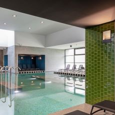
Pesterzsébeti Jódos-Sós Gyógy-és Strandfürdő
710 m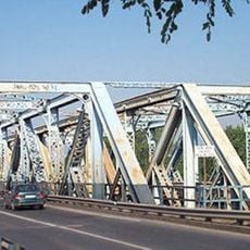
Gubacsi Bridge
795 m
Tamariska-domb Természetvédelmi Terület
2.7 km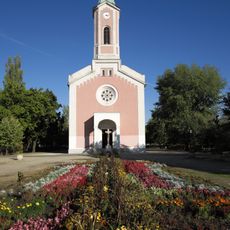
Church of the Nativity of the Virgin Mary, Csepel
2.5 km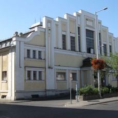
Tátra téri Piac és Vásárcsarnok
1.1 km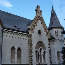
Pesterzsébeti Múzeum
251 m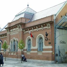
Gaál Imre Galéria
367 m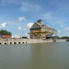
MAHART Gabonatárház
2.8 km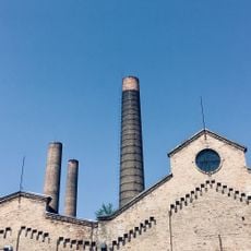
Csepel Művek főbejárat
2.7 km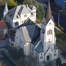
Pesterzsébeti evangélikus templom
638 m
Anya gyermekével
578 m
Táncolók-szobor
645 m
Katona Áron Sándor Képtár
2.7 km
Csili Művelődési Központ
248 m
Rátkay-Átlók Galéria
1.4 km
Olvasó munkás
2.8 km
Wekerlei totem
2.4 km
Örmény–magyar-emlékmű
2.3 km
Anyák szobra
563 m
Csepel Galéria
1.9 km
Anya gyermekével
595 m
Szendergő
1.2 km
Megtörve
2.2 km
Pro patria
2 km
Wekerlei térvers 10.
2.8 km
Wekerlei térvers 1.
2.8 km
Emberpár
144 m
Work of art
363 mReviews
Visited this place? Tap the stars to rate it and share your experience / photos with the community! Try now! You can cancel it anytime.
Discover hidden gems everywhere you go!
From secret cafés to breathtaking viewpoints, skip the crowded tourist spots and find places that match your style. Our app makes it easy with voice search, smart filtering, route optimization, and insider tips from travelers worldwide. Download now for the complete mobile experience.

A unique approach to discovering new places❞
— Le Figaro
All the places worth exploring❞
— France Info
A tailor-made excursion in just a few clicks❞
— 20 Minutes